Testerep, Ostend

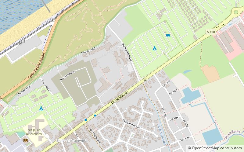
Map
Facts and practical information
Testerep once comprised an island along the Belgian coast. It existed as early as the 10th century. Fishing villages were scattered about, including Ostend and Westende, with Ostend on the far east, Westende on the far west, and Middelkerke the middle of the island. Later, canals and dikes were built and the island became connected to the West Flanders mainland. ()
Address
Ostend
ContactAdd
Social media
Add
Day trips
Testerep – popular in the area (distance from the attraction)
Nearby attractions include: King Albert I Memorial, Atlantic Wall open-air museum, Mu.ZEE, Sint-Petrus-en-Pauluskerk.
Frequently Asked Questions (FAQ)
How to get to Testerep by public transport?
The nearest stations to Testerep:
Bus
Tram
Bus
- Middelkerke Sluisvaartstraat • Lines: 68, 69 (2 min walk)
Tram
- Middelkerke De Greefplein • Lines: (12 min walk)
- Raversijde Domein Raversijde • Lines: (23 min walk)


