St Walburga Church, Antwerp

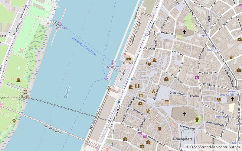
Map
Facts and practical information
The St Walburga Church in Antwerp, Belgium, formerly a parish church, was demolished in 1817. ()
Coordinates: 51°13'19"N, 4°23'49"E
Address
Antwerpen (Historisch Centrum)Antwerp
ContactAdd
Social media
Add
Day trips
St Walburga Church – popular in the area (distance from the attraction)
Nearby attractions include: Meir, City Hall, Brabo, Plantin-Moretus Museum.
Frequently Asked Questions (FAQ)
Which popular attractions are close to St Walburga Church?
Nearby attractions include Het Steen, Antwerp (2 min walk), Etnografisch Museum, Antwerp (3 min walk), City Hall, Antwerp (3 min walk), Vleeshuis, Antwerp (3 min walk).
How to get to St Walburga Church by public transport?
The nearest stations to St Walburga Church:
Ferry
Bus
Tram
Train
Ferry
- Steenplein Antwerpen • Lines: Waterbus Schelde Hemiksem-Antwer, Waterbus Schelde Lillo-Antwerpen (2 min walk)
- Sint-Anna Jachthavenweg • Lines: Waterbus Schelde Hemiksem-Antwer, Waterbus Schelde Lillo-Antwerpen (22 min walk)
Bus
- Suikerrui Steenplein • Lines: 30, 34 (2 min walk)
- Sint-Pietersvliet • Lines: 30, 34 (8 min walk)
Tram
- Klapdorp • Lines: 7 (8 min walk)
- Stop (8 min walk)
Train
- Antwerpen-Centraal (29 min walk)


