Rue Victor Hugo, Brussels
Map
Gallery
Facts and practical information
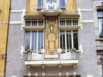
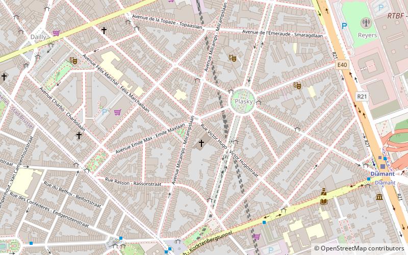
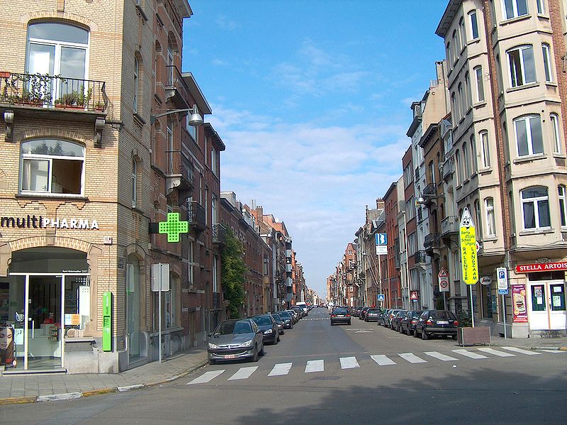
The Rue Victor Hugo or Victor Hugostraat is a street in the Schaerbeek municipality of Brussels, Belgium. It is named after the French writer Victor Hugo, who spent his exile of 1851 to 1870 in Brussels. It runs from the Chaussée de Louvain/Leuvense Steenweg to the Avenue de Roodebeek/Roodebeeklaan. ()
Address
Schaerbeek (Plasky)Brussels
ContactAdd
Social media
Add
Day trips
Rue Victor Hugo – popular in the area (distance from the attraction)
Nearby attractions include: Cinquantenaire, Jazz Station, Autoworld Museum, Royal Museum of the Armed Forces and Military History.
Frequently Asked Questions (FAQ)
Which popular attractions are close to Rue Victor Hugo?
Nearby attractions include Clockarium, Brussels (9 min walk), Schuman-Josaphat tunnel, Brussels (11 min walk), Enclos des fusillés, Brussels (14 min walk), Great Mosque of Brussels, Brussels (15 min walk).
How to get to Rue Victor Hugo by public transport?
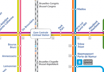
The nearest stations to Rue Victor Hugo:
Bus
Tram
Train
Metro
Bus
- Plasky • Lines: 21, 29, 63, N05 (1 min walk)
- Max-Plasky • Lines: 63 (3 min walk)
Tram
- Diamant • Lines: 25, 7 (9 min walk)
- Meiser • Lines: 25, 62, 7 (10 min walk)
Train
- Diamant (9 min walk)
- Meiser (9 min walk)
Metro
- Merode • Lines: 1, 5 (20 min walk)
- Schuman • Lines: 1, 5 (20 min walk)

 Metro / Rail


