Tilata, Huayna Potosí
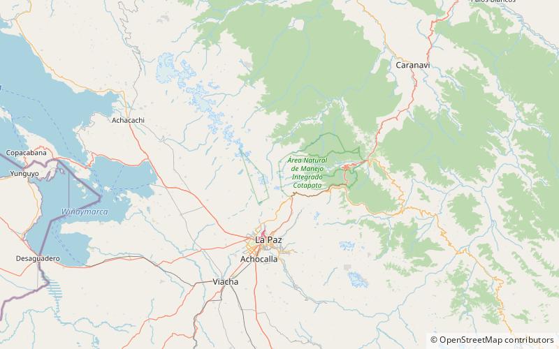
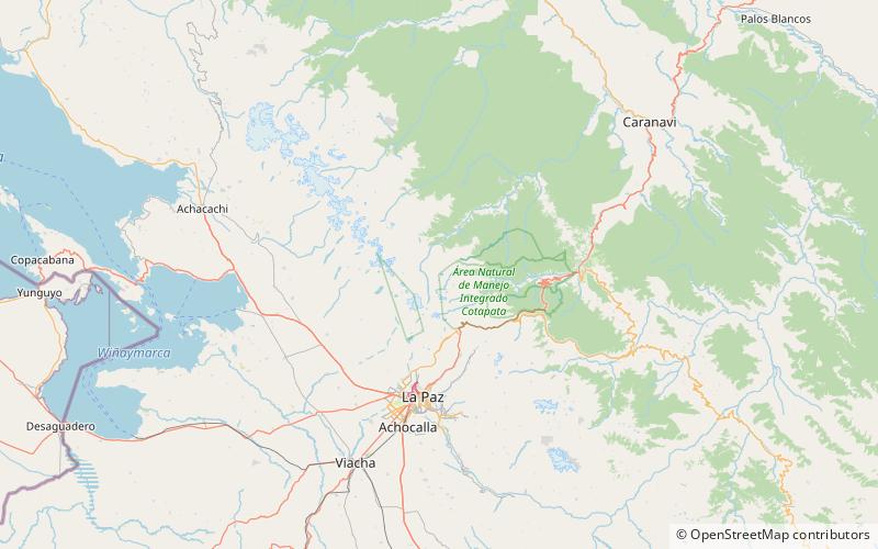
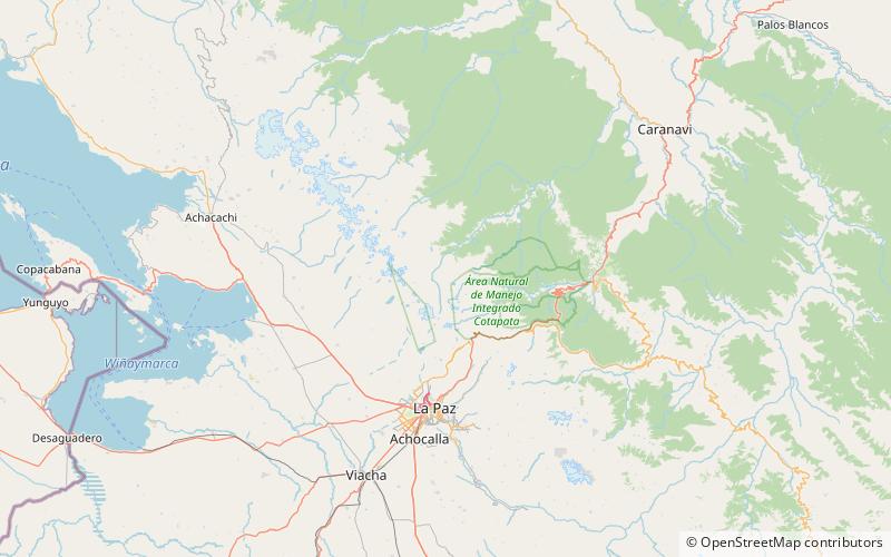
Map
Facts and practical information
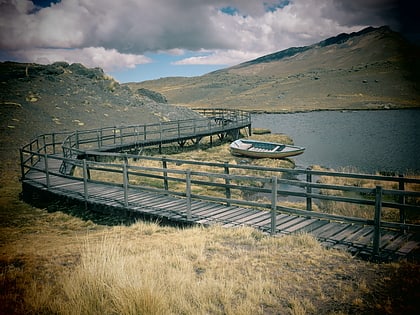
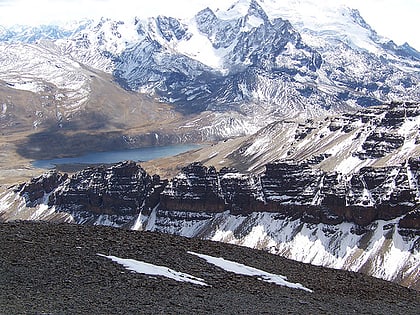
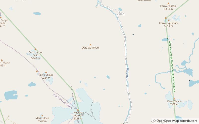
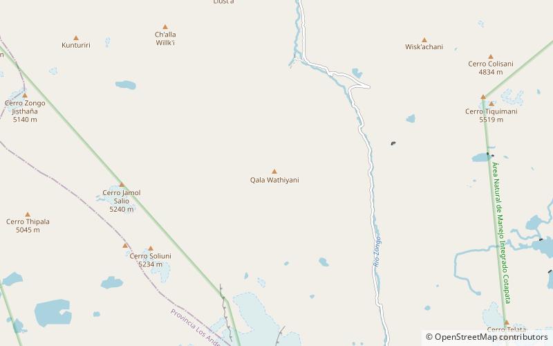
Tilata is a 5,336-metre-high mountain in the Cordillera Real in the Bolivian Andes. It is located in the La Paz Department, Murillo Province, La Paz Municipality. Tilata is situated south of the mountain Llamp'u, north-west of Qala Uyu and north-east of Wayna Potosí. Tilata Lake lies east of the mountain. ()
Elevation: 17507 ftCoordinates: 16°15'0"S, 68°5'24"W
Address
Huayna Potosí
ContactAdd
Social media
Add
Day trips
Tilata – popular in the area (distance from the attraction)
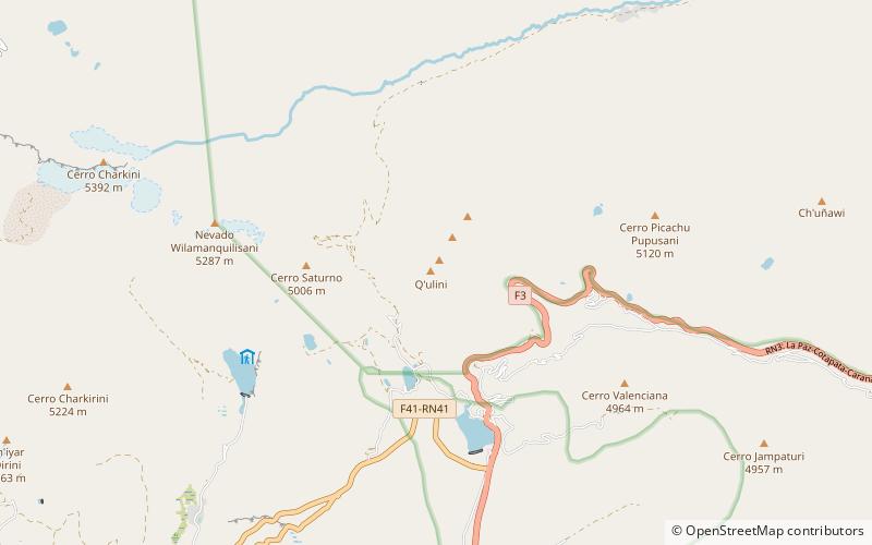
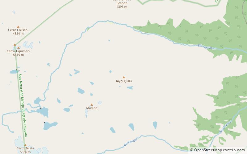
Nearby attractions include: Laram Quta, Q'ulini, Janq'u Quta, Taypi Qullu.
