Taypi Qullu, Cotapata National Park and Integrated Management Natural Area
Map
Facts and practical information
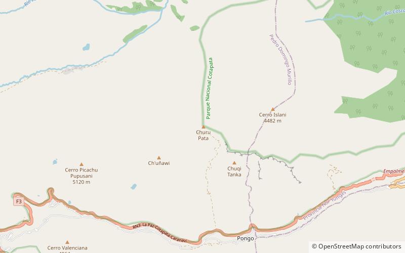
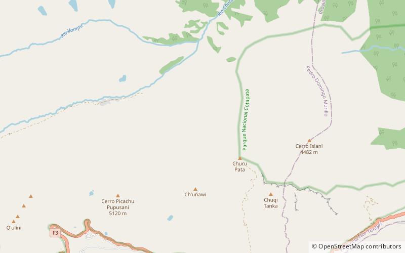
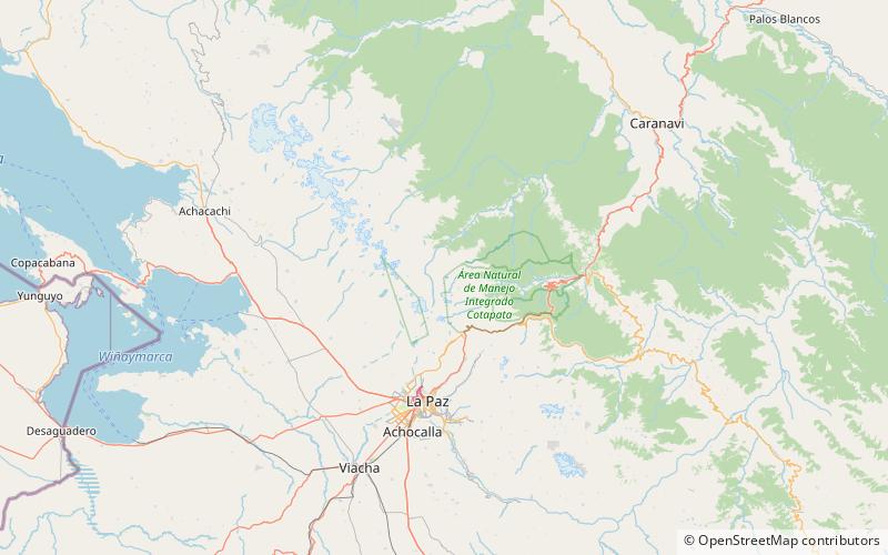
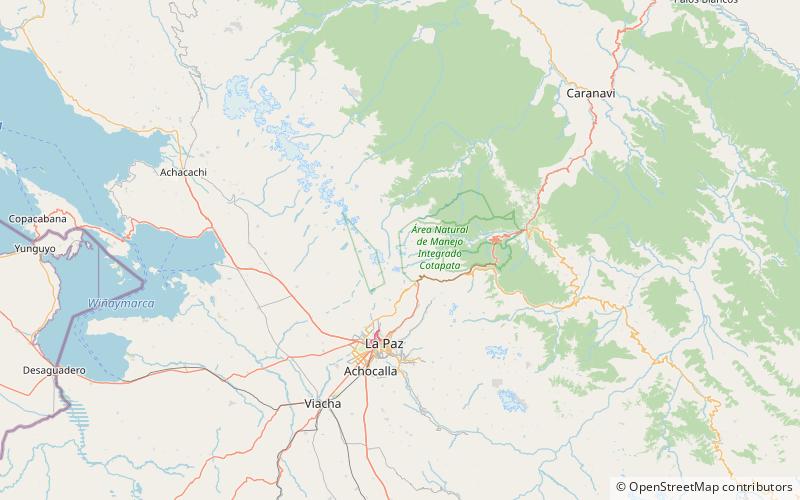
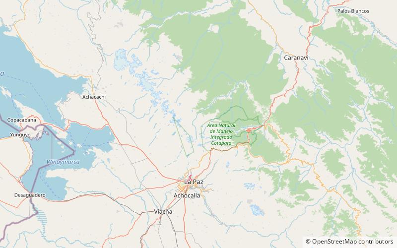
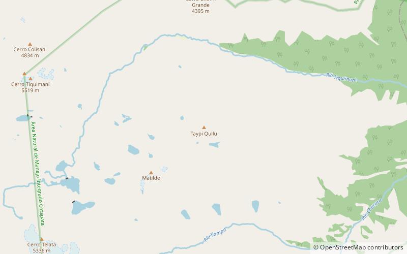
Taypi Qullu is a mountain in the Bolivian Andes, about 4,440 metres high. It is situated in the La Paz Department, Murillo Province, La Paz Municipality. Taypi Qullu lies south-east of the mountain Llamp'u. ()
Elevation: 14567 ftCoordinates: 16°13'7"S, 68°1'59"W
Address
Cotapata National Park and Integrated Management Natural Area
ContactAdd
Social media
Add
Day trips
Taypi Qullu – popular in the area (distance from the attraction)
Nearby attractions include: Churu Pata, Pukara, Llamp'u, Tilata.
