Curiquinca

Gallery (1)
Map
Map
Facts and practical information
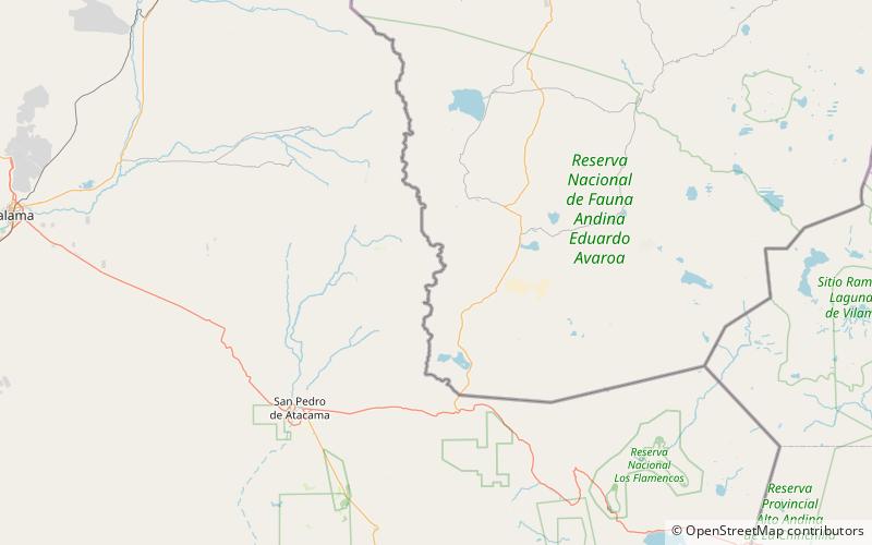
Curiquinca is a stratovolcano that straddles the border between Bolivia and Chile. It lies immediately E of Cerro Colorado and NE to volcán Escalante, all of which are considered to be part of the Sairecabur volcanic group. The light area behind the mountain is part of a large sulfur deposit, location of the - now abandoned - sulfur mines "Azufrera El Apagado" on the Chilean side and its counterpart "Azufrera Rosita" on the Bolivian side of the border. ()
Location
Potosí
ContactAdd
Social media
Add