Jablanica lake
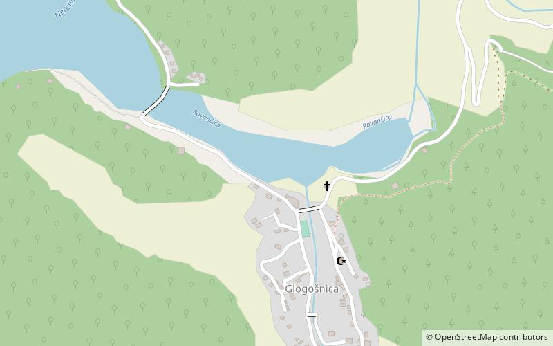
Map

Gallery

Facts and practical information
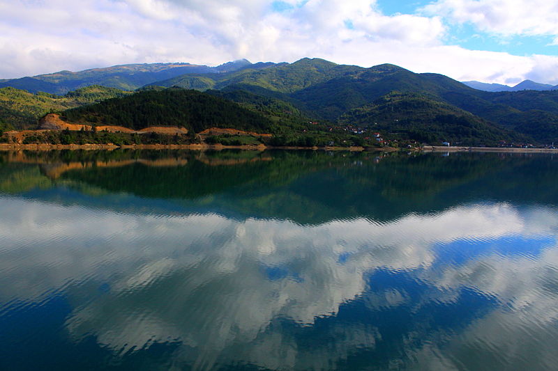
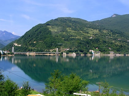
Jablaničko lake is a large artificially formed lake on the Neretva river, right below Konjic where the Neretva expands into a wide valley. The river provided lot of fertile, agricultural land there, before the lake flooded most of it. The lake was created in 1953 after construction of Jablanica Dam near Jablanica in central Bosnia and Herzegovina. ()
Local name: Jablaničko jezero Area: 5.02 mi²Length: 18.64 miWidth: 3937 ftMaximum depth: 262 ftElevation: 928 ft a.s.l.Coordinates: 43°40'60"N, 17°51'0"E
Location
Federacija Bosna i Hercegovina
ContactAdd
Social media
Add
Day trips
Jablanica lake – popular in the area (distance from the attraction)
Nearby attractions include: Grabovičko Lake.

