Cincar
Map
Map

Facts and practical information
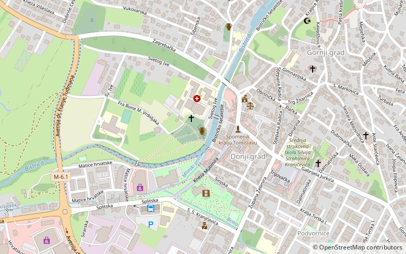
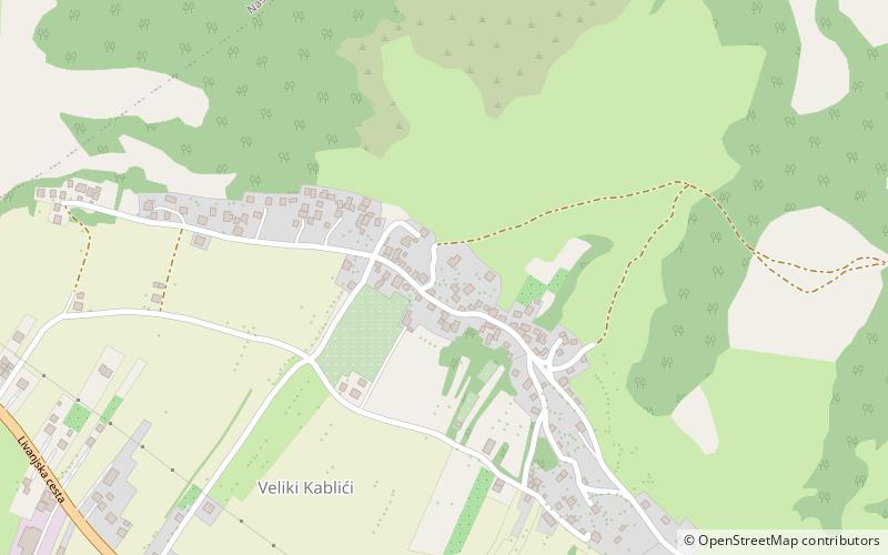
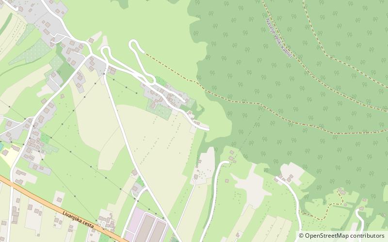
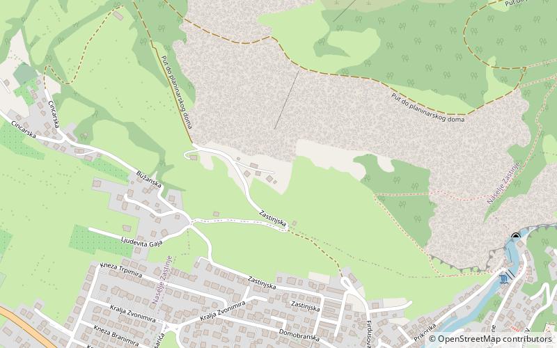
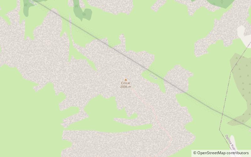
Cincar is a mountain in the Dinaric Alps of western Bosnia and Herzegovina, located at 43°54′08″N 17°03′46″E between Livno, Kupres and Glamoč. The highest peak is the eponymous Cincar peak at 2,006 m. ()
Location
Federacija Bosna i Hercegovina
ContactAdd
Social media
Add
Day trips
Cincar – popular in the area (distance from the attraction)
Nearby attractions include: Livanjsko Polje, All Saints Church, King Tomislav Square, Hajji Ahmed the Ducat Minter's Mosque.


