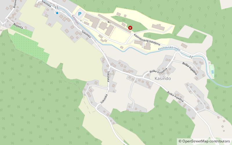
Kasindo, Sarajevo
#119 among attractions in Sarajevo

Facts and practical information
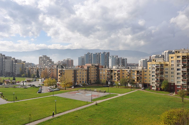
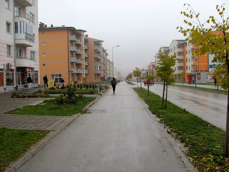
Kasindo is a neighbourhood in the city of Istočno Sarajevo in Istočna Ilidža municipality, Republika Srpska, Bosnia and Herzegovina. Kasindo is also the old name for this municipality. The clinical center of Istočno Sarajevo is in this part of the city. ()
Sarajevo Bosnia and Herzegovina
Kasindo – popular in the area (distance from the attraction)
Nearby attractions include: King Fahd Mosque, Stadion Grbavica, Jewish Cemetery, Vraca Memorial Park.
3.8 miNWMosqueKing Fahd Mosque, Sarajevo
98 min walk • The King Fahd Mosque, a beacon of Islamic architecture and spirituality, graces the city of Sarajevo, Bosnia and Herzegovina. This mosque stands as a symbol of the enduring cultural and religious heritage in a city that has been a crossroads of civilizations for...
3.5 miNSport venue, Sport, FootballStadion Grbavica, Sarajevo
90 min walk • Stadion Grbavica is a renowned sports venue situated in the heart of Sarajevo, the vibrant capital city of Bosnia and Herzegovina. Known primarily as the home ground of the country's prestigious football club, FK Željezničar, the stadium holds a special place in the...
3.9 miNHistorical place, CemeteryJewish Cemetery, Sarajevo
99 min walk • Nestled on the verdant slopes of Trebević Mountain, the Jewish Cemetery in Sarajevo, Bosnia and Herzegovina, stands as a poignant testament to the city's multi-ethnic past and the rich history of its Jewish community. This solemn site, one of the largest Jewish...
3.3 miNMemorialVraca Memorial Park, Sarajevo
85 min walk • The Vraca Memorial Park is a park dedicated to the World War II victims in Sarajevo. It covers 78,000 square meters and mentions the names of over 11,000 men, women, and children killed during World War II.
3.1 miNWUnderground tunnel with a war museumSarajevo Tunnel, Sarajevo
80 min walk • The Sarajevo Tunnel, also known as Tunel spasa and Tunnel of Hope, was a tunnel constructed between March and June 1993 during the Siege of Sarajevo in the midst of the Bosnian War.
3.8 miNWMosqueIstiklal Mosque, Sarajevo
98 min walk • Istiqlal Mosque is one of the largest mosques in Sarajevo, Bosnia and Herzegovina. It was named after Istiqlal Mosque, Jakarta, the national mosque of Indonesia, since the mosque was a gift from the Indonesian people and government for Bosnia and Herzegovina as a token of solidarity and friendship between the two nations.
3.6 miNSkyscraperBosmal City Center, Sarajevo
93 min walk • The Bosmal City Center is a business and residential tower located in Sarajevo, Bosnia and Herzegovina. Standing 118 m high, it is the second tallest residential building in the Balkans.
3.3 miNWNeighbourhoodAlipašino polje, Sarajevo
84 min walk • Alipašino polje is a neighbourhood in Sarajevo, Bosnia and Herzegovina, located in the Sarajevo municipality of Novi Grad. It consists of three sub-neighborhoods: Faza A, Faza B, and Faza C, which include six local communities. They were named after the order in which they were built.
3.5 miNELandmark peak with hiking trails and viewsTrebević, Sarajevo
89 min walk • Trebević is a mountain in central Bosnia and Herzegovina, located to the southeast of Sarajevo, in the territory of East Sarajevo city, bordering Jahorina mountain. Trebević is 1,627 meters tall, making it the second shortest of the Sarajevo mountains. During the Middle Ages, Trebević was known as Zlatni Do.
2.3 miNWNeighbourhoodIstočno Novo Sarajevo, Sarajevo
59 min walk • Istočno Novo Sarajevo is a municipality of the city of Istočno Sarajevo located in Republika Srpska, an entity of Bosnia and Herzegovina. As of 2013, it has a population of 10,642 inhabitants.
3.4 miNNeighbourhoodHrasno, Sarajevo
87 min walk • Hrasno is a neighbourhood in Sarajevo, Bosnia and Herzegovina. It is divided into four local communities: Hrasno, Staro Hrasno, Hrasno Brdo and Trg Heroja.