Marechal Cordeiro de Farias Square, São Paulo
Map
Map

Facts and practical information
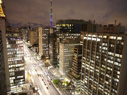
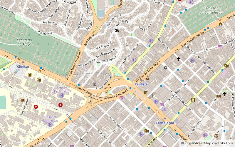
Marechal Cordeiro de Farias Square is a square located in the Higienópolis neighborhood of the district of Consolação, São Paulo, Brazil. It begins at the terminus of Paulista Avenue, and has corners on Minas Gerais, Itápolis avenues and Angelica street. The square is named after the Marshal Osvaldo Cordeiro de Farias, a Brazilian revolutionary, politician, and former governor of the State of Rio Grande do Sul. ()
Local name: Praça Marechal Cordeiro de Farias Elevation: 2713 ft a.s.l.Coordinates: 23°33'17"S, 46°39'50"W
Address
Sé (Consolação)São Paulo
ContactAdd
Social media
Add
Day trips
Marechal Cordeiro de Farias Square – popular in the area (distance from the attraction)
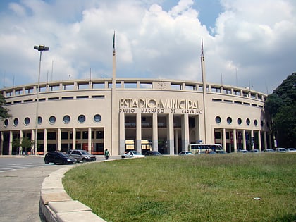
Nearby attractions include: Paulista Avenue, Rua Oscar Freire, São Paulo Museum of Art, Pacaembu Stadium.
Frequently Asked Questions (FAQ)
Which popular attractions are close to Marechal Cordeiro de Farias Square?
Nearby attractions include Torre da TV Bandeirantes, São Paulo (3 min walk), Congregação Israelita Paulista, São Paulo (6 min walk), Colégio São Luís, São Paulo (6 min walk), Instituto Adolfo Lutz, São Paulo (8 min walk).
How to get to Marechal Cordeiro de Farias Square by public transport?
The nearest stations to Marechal Cordeiro de Farias Square:
Bus
Metro
Trolleybus
Bus
- Paulista B/C • Lines: 178L-10, 701A-10, 702C-10, 7282-10, 7458-10, 7545-10, 7903-10 (3 min walk)
- Paulista C/B • Lines: 508L-10, 669A-10, 702C-10, 714C-10, 7245-10, 7458-10, 7545-10, 7903-10, 874T-10, 875A-10 (3 min walk)
Metro
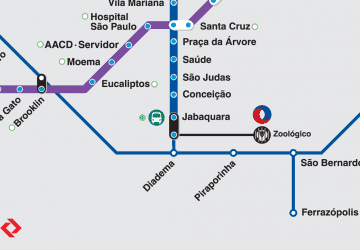
- Paulista • Lines: 4 (3 min walk)
- Consolação • Lines: 2 (8 min walk)
Trolleybus
- Rua Professor João Arruda, 57 • Lines: 408A-10 (25 min walk)

 Metro / Suburban rail