Mestre Álvaro, Serra


Facts and practical information
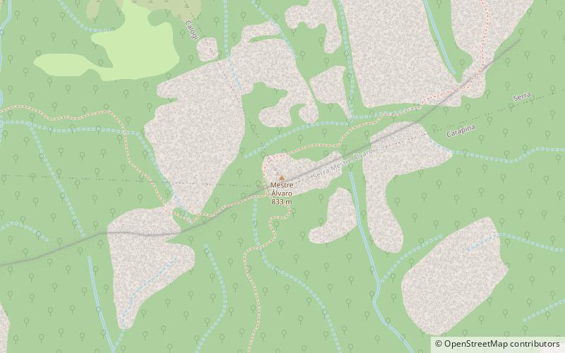
Mestre Álvaro is considered one of the highest coastal elevations on the Brazilian coast and houses one of the last areas of high altitude Atlantic Forest in Espírito Santo. It is a coastal massif that has a semicircular shape in plan, structured in a granitic intrusive rock body with an altitude of about 833 meters in the state of Espírito Santo.
There is a panoramic view of the entire Metropolitan Region of Vitória and the mountains, and from there you can see the cities of Vitória, Vila Velha, Serra, Cariacica, Santa Leopoldina, Fundão, Viana, and part of Domingos Martins, as well as a beautiful view of the Atlantic Ocean.
Mestre Álvaro is a granite massif that, due to its height and position, has served maritime navigation for centuries. It is mentioned in cartographic documents from the 16th century. It has a forest rich in native fauna and flora and some caves.
It is located in the municipality of Serra, which is part of the metropolitan region of Grande Vitória. It has 3,470ha and a height range of 100 to 850m. It is located between the coordinates 20º 08' 32" and 20º 11' 28" S and 40º 07' 42" and 40º 19' 44" W.
According to the phytogeographic classification of IBGE, the predominant vegetation is the submontane dense ombrophilous forest. However, most of the area is currently covered by pastures, and the native vegetation, although altered, is restricted to areas of difficult access.
Serra
Mestre Álvaro – popular in the area (distance from the attraction)
Nearby attractions include: Clube Capixaba de Golf, Praça Morada de Laranjerias, Pátio Laranjeiras.


