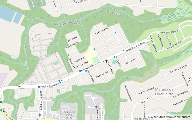
Praça Morada de Laranjerias, Serra
Map

Map

Facts and practical information
Praça Morada de Laranjerias (address: Av.Copacabana, 215 -Morada de Laranjeiras) is a place located in Serra (Espírito Santo state) and belongs to the category of park, relax in park.
It is situated at an altitude of 75 feet, and its geographical coordinates are 20°11'32"S latitude and 40°13'43"W longitude.
Among other places and attractions worth visiting in the area are: Pátio Laranjeiras (shopping centre, 56 min walk), Mestre Álvaro (nature, 147 min walk).
Elevation: 75 ft a.s.l.Coordinates: 20°11'32"S, 40°13'43"W
Address
Av.Copacabana, 215 -Morada de LaranjeirasSerra
Contact
+55 27 3328-6975
Social media
Add
Day trips
Praça Morada de Laranjerias – popular in the area (distance from the attraction)
Nearby attractions include: Mestre Álvaro, Pátio Laranjeiras.


