Canindé de São Francisco Travel Guide
Facts and practical information
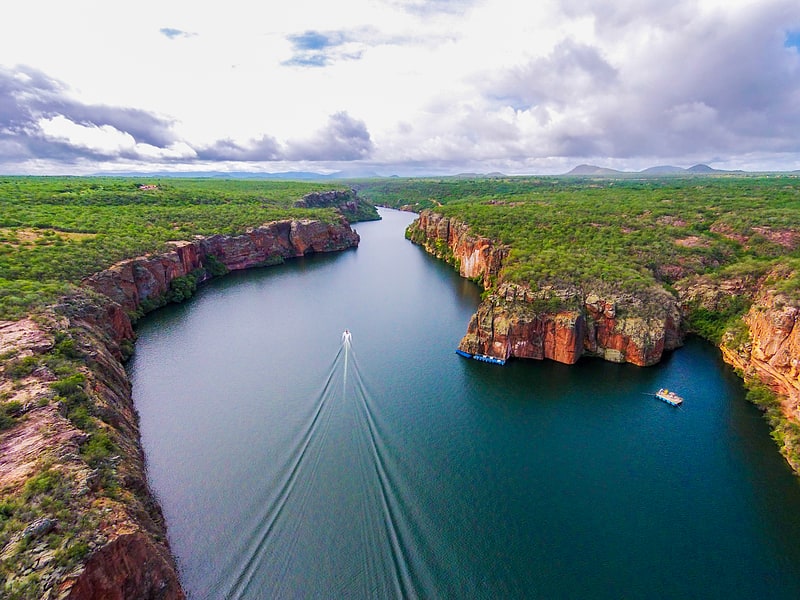
Canindé de São Francisco, located in the Sergipe region of Brazil, is a charming town that offers a mix of natural beauty and cultural heritage. The town is situated on the banks of the São Francisco River, one of the most important rivers in Brazil, and is surrounded by stunning landscapes, including canyons, waterfalls, and a lush, green countryside.
One of the main attractions in Canindé de São Francisco is the Xingó Canyon, a breathtaking natural wonder that draws visitors from all over the world. Boat tours are available to explore the canyon, offering a unique perspective of the towering rock formations and crystal-clear waters. The canyon is also a popular spot for outdoor activities such as hiking, rock climbing, and birdwatching.
In addition to its natural beauty, Canindé de São Francisco is also home to a rich cultural heritage. The town is known for its traditional folklore, music, and dance, and visitors can experience these cultural traditions at local festivals and events. The town is also home to a number of historical landmarks, including the São Francisco Church, a beautiful colonial-era church that is a must-see for history enthusiasts.
For those interested in learning more about the local culture and history, the town offers several museums and cultural centers that showcase the art, crafts, and traditions of the region. Visitors can also sample the local cuisine, which is known for its delicious seafood dishes and unique flavors.
Sergipe
Canindé de São Francisco Attractions - What to See and Explore
Canindé de São Francisco offers many attractions and places to visit. Here are the most important ones: Xingó Dam. Below you will find a complete list of places worth visiting.

Best Time To Visit Canindé de São Francisco
Learn when is the best time to travel to Canindé de São Francisco weather-wise and what to expect in each season.