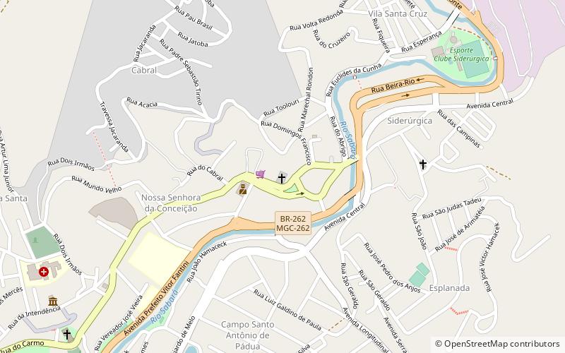
Igreja Nossa Senhora da Conceição, Belo Horizonte
Map

Map

Facts and practical information
Igreja Nossa Senhora da Conceição (address: Praça Getúlio Vargas, s/n) is a place located in Belo Horizonte (Minas Gerais state) and belongs to the category of church, architecture.
It is situated at an altitude of 2346 feet, and its geographical coordinates are 19°53'7"S latitude and 43°48'1"W longitude.
Planning a visit to this place, one can easily and conveniently get there by public transportation. Igreja Nossa Senhora da Conceição is a short distance from the following public transport stations: Rodoviária Sabara Mg (bus, 13 min walk).
Coordinates: 19°53'7"S, 43°48'1"W
Address
Praça Getúlio Vargas, s/nBelo Horizonte 34505-730
Contact
+55 31 3674-8793
Social media
Add
Frequently Asked Questions (FAQ)
How to get to Igreja Nossa Senhora da Conceição by public transport?
The nearest stations to Igreja Nossa Senhora da Conceição:
Bus
Bus
- Rodoviária Sabara Mg (13 min walk)
