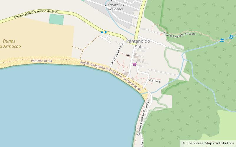
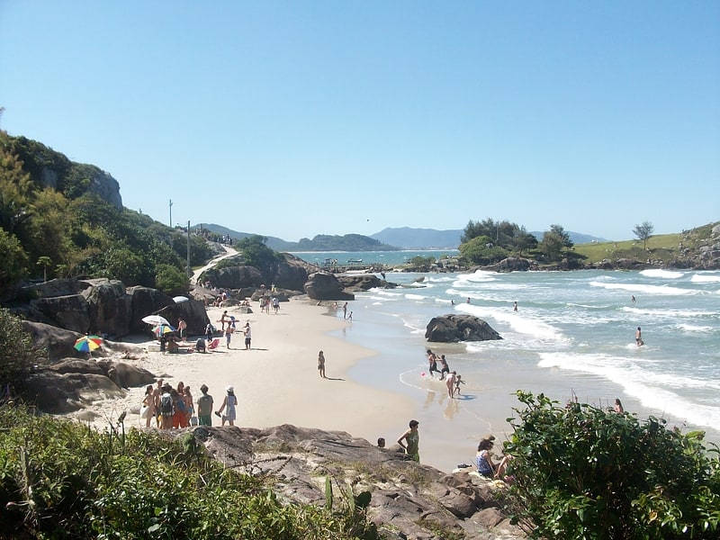
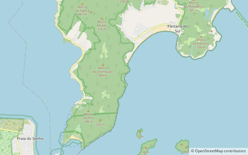
Pântano do Sul, Florianopolis
Map
Facts and practical information
Pântano do Sul is a place located in Florianopolis (Santa Catarina state) and belongs to the category of beach.
It is situated at an altitude of 10 feet, and its geographical coordinates are 27°46'54"S latitude and 48°30'31"W longitude.
Planning a visit to this place, one can easily and conveniently get there by public transportation. Pântano do Sul is a short distance from the following public transport stations: Rodovia SC-406 (bus, 22 min walk).
Among other places and attractions worth visiting in the area are: Balneário dos Açores (beach, 19 min walk), Praia dos Açores (beach, 23 min walk), Praia da Lagoinha do Leste (beach, 38 min walk).
Coordinates: 27°46'54"S, 48°30'31"W
Address
Pântano do SulFlorianopolis
ContactAdd
Social media
Add
Getting there by public transportation
Public transportation stops near this location
- Bus
 Bus
Bus
- Calculate routeRodovia SC-406 22 min walk
- Calculate routeEstrada João Bellarmino da Silva 6 min walk
- Calculate routeEstação Caminho dos Açores 28 min walk
Day trips


Frequently Asked Questions (FAQ)
Which popular attractions are close to Pântano do Sul?
Nearby attractions include Balneário dos Açores, Florianopolis (19 min walk), Praia dos Açores, Florianopolis (23 min walk).
How to get to Pântano do Sul by public transport?
The nearest stations to Pântano do Sul:
Bus
Bus
- Rodovia SC-406 • Lines: 563, 564 (22 min walk)
- Estrada João Bellarmino da Silva • Lines: 563, 564 (6 min walk)