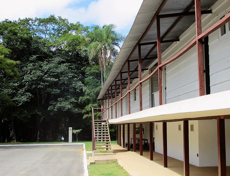
Feira do Núcleo Bandeirante, Brasilia
Facts and practical information
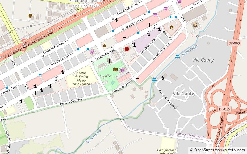
Feira do Núcleo Bandeirante (address: Av. Contorno) is a place located in Brasilia (Distrito Federal federal district) and belongs to the category of shopping, farmer's market, market.
It is situated at an altitude of 3396 feet, and its geographical coordinates are 15°52'20"S latitude and 47°57'57"W longitude.
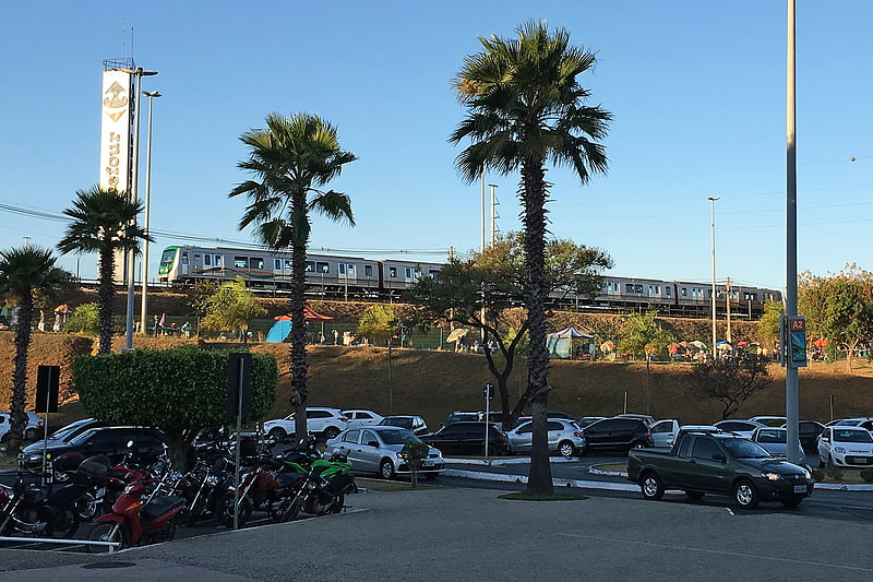
Planning a visit to this place, one can easily and conveniently get there by public transportation. Feira do Núcleo Bandeirante is a short distance from the following public transport stations: Terminal Rodoviário do Núcleo Bandeirante (bus, 17 min walk), Bernardo Sayão (train, 34 min walk).
Among other places and attractions worth visiting in the area are: MVMC - Museu Vivo da Memória Candanga (museum, 24 min walk), Sede do Parque Ecológico Ezequias Heringer (park, 66 min walk), The ParkShopping (shopping, 72 min walk).
- Bus
- Train
 Bus
Bus
- Calculate routeTerminal Rodoviário do Núcleo Bandeirante 17 min walk
- Calculate routeBRT Parkway 18 min walk
- Calculate routeBernardo Sayão 34 min walk
Frequently Asked Questions (FAQ)
How to get to Feira do Núcleo Bandeirante by public transport?
Bus
- Terminal Rodoviário do Núcleo Bandeirante (17 min walk)
- BRT Parkway (18 min walk)
Train
- Bernardo Sayão (34 min walk)