Sítio Rangedor State Park, São Luís
Map

Map

Facts and practical information
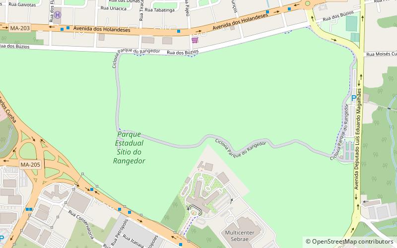
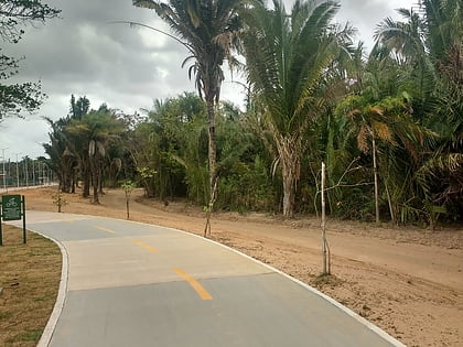
The Sítio Rangedor State Park is a state park in the state of Maranhão, Brazil. It is located in the centre of São Luís, the state capital, and contains the state's Legislative Assembly and other public buildings. ()
Local name: Parque Estadual do Sítio do Rangedor Created: 2005Area: 0.47 mi²Elevation: 75 ft a.s.l.Coordinates: 2°29'52"S, 44°16'7"W
Address
São Luís
ContactAdd
Social media
Add
Day trips
Sítio Rangedor State Park – popular in the area (distance from the attraction)
Nearby attractions include: Reggae Maranhão Museum, Catedral de São Luís, Castelão, Estádio Nhozinho Santos.


