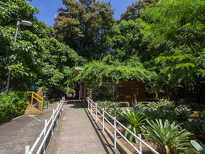
Bela Vista, São Paulo
Map
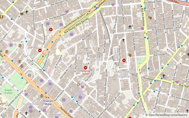
Map

Facts and practical information
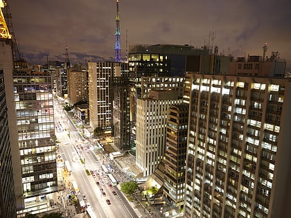
Bela Vista is one of the most traditional Italian neighborhoods in the city of São Paulo, Brazil. It belongs to the borough of Sé, and it has been a mixed neighborhood since its beginning, where free African-Brazilians and/or a mixture of Native-Brazilians, Blacks and Portuguese descendants lived. Later, more European immigrants arrived, such as Spaniards, Germans, English, French, Belgians, and Italians. The Italian community became more numerous than all the others during the first decades of the twentieth century. ()
Day trips
Bela Vista – popular in the area (distance from the attraction)
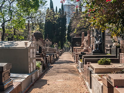
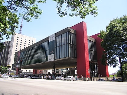
Nearby attractions include: Paulista Avenue, São Paulo Museum of Art, Cemitério da Consolação, Itaú Cultural.
Frequently Asked Questions (FAQ)
Which popular attractions are close to Bela Vista?
Nearby attractions include Teatro Ruth Escobar, São Paulo (6 min walk), Bixiga, São Paulo (7 min walk), Paróquia Nossa Senhora Achiropita, São Paulo (8 min walk), São Paulo Museum of Art, São Paulo (9 min walk).
How to get to Bela Vista by public transport?
The nearest stations to Bela Vista:
Bus
Metro
Trolleybus
Bus
- Rua S. Carlos Do Pinhal, 638 • Lines: N841-11 (7 min walk)
- Parada Getúlio Vargas • Lines: 106A-10, 609F-10, 609F-21, 6200-10, 6250-10, 6262-10, 6291-10, 6358-10, 6414-10, 6422-10, 6450-10, 6451-10, 6475-10, 6500-10, 6505-10, 6913-10, 8605-10, 8610-10 (7 min walk)
Metro
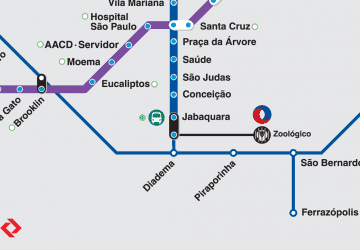
- Trianon-Masp • Lines: 2 (9 min walk)
- Brigadeiro • Lines: 2 (16 min walk)
Trolleybus
- Rua Conselheiro Furtado, 718 • Lines: 408A-10, 4113-10 (28 min walk)
 Metro / Suburban rail