Califórnia Building, São Paulo
Map
Map

Facts and practical information
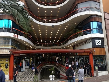
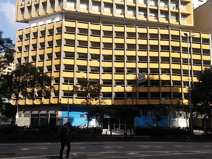
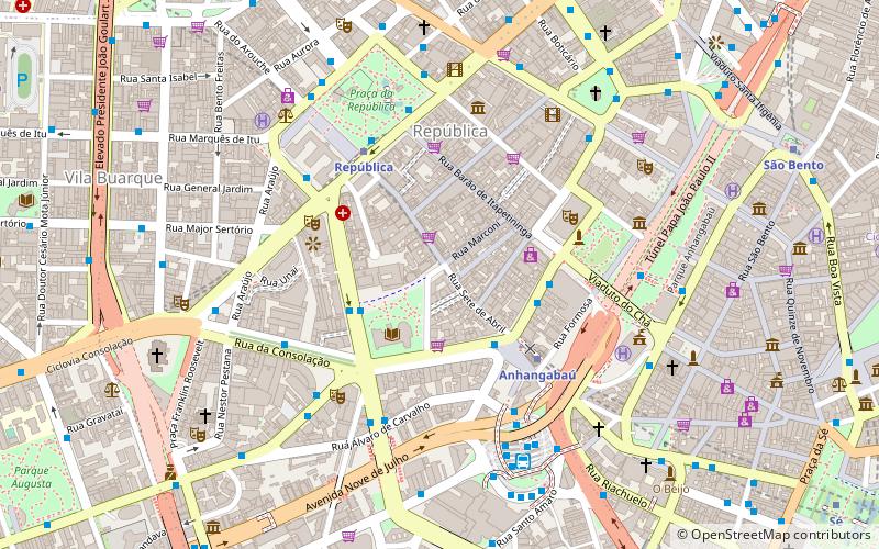
The Califórnia Building is a mixed-use building in the República district of São Paulo, Brazil. It was designed by the architect Oscar Niemeyer with Carlos Lemos. The building was designed in 1951 and completed in 1955. The Califórnia Building combined a gallery of retail space on its ground floor with residential units above, a theme common to Niemeyer's nearby Copan and Eiffel buildings. It sits on the corner of Barão de Itapetininga and Dom José de Barros avenues. ()
Local name: Edifício e Galeria Califórnia Opened: 1955 (71 years ago)Floors: 13Coordinates: 23°32'47"S, 46°38'28"W
Address
Sé (República)São Paulo
ContactAdd
Social media
Add
Day trips
Califórnia Building – popular in the area (distance from the attraction)
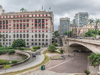
Nearby attractions include: Centro Cultural Banco do Brasil, Galeria do Rock, Theatro Municipal, Vale do Anhangabaú.
Frequently Asked Questions (FAQ)
Which popular attractions are close to Califórnia Building?
Nearby attractions include Biblioteca Mário de Andrade, São Paulo (3 min walk), Largo da Memória, São Paulo (4 min walk), Edifício Itália, São Paulo (5 min walk), Theatro Municipal, São Paulo (5 min walk).
How to get to Califórnia Building by public transport?
The nearest stations to Califórnia Building:
Bus
Metro
Trolleybus
Train
Bus
- Avenida S. Luís • Lines: 1896-10 (3 min walk)
- Rua Coronel Xavier de Toledo, 220 • Lines: 702C-10, 7282-10, 7458-10, 7545-10, 7903-10 (3 min walk)
Metro
- Anhangabaú • Lines: 3 (5 min walk)
- República • Lines: 3, 4 (5 min walk)
Trolleybus
- Parada 3 - Theatro Municipal • Lines: 408A-10, 4113-10 (5 min walk)
- Rua Líbero Badaró, 309 • Lines: 408A-10, 4113-10 (8 min walk)
Train
- Júlio Prestes (24 min walk)
- Tiradentes (31 min walk)

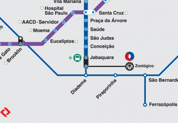 Metro / Suburban rail
