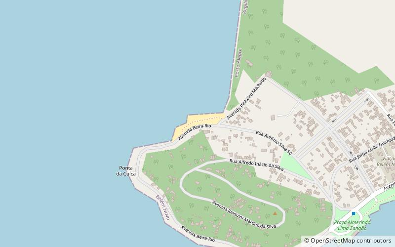
Praia das Garças, Porto Alegre
Map
Facts and practical information
Praia das Garças is a place located in Porto Alegre (Rio Grande do Sul state) and belongs to the category of beach, campsite.
It is situated at an altitude of 7 feet, and its geographical coordinates are 30°14'32"S latitude and 51°9'12"W longitude.
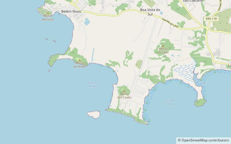
Among other places and attractions worth visiting in the area are: Guaíba River (nature, 68 min walk), Lami José Lutzenberger Biological Reserve (park, 76 min walk), Belém Novo (neighbourhood, 77 min walk).
Coordinates: 30°14'32"S, 51°9'12"W
Address
Extremo-Sul (Belém Novo)Porto Alegre
ContactAdd
Social media
Add
Day trips