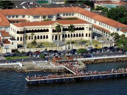
Astúrias, Guarujá
Map
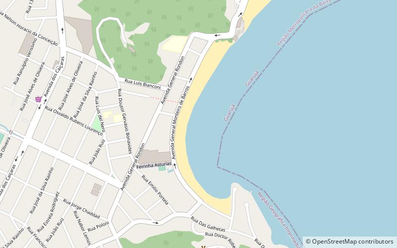
Map

Facts and practical information
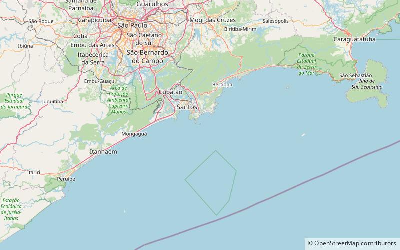
Astúrias (address: Av. Gen. Monteiro de Barros) is a place located in Guarujá (São Paulo state) and belongs to the category of beach.
It is situated at an altitude of 7 feet, and its geographical coordinates are 24°0'26"S latitude and 46°16'4"W longitude.
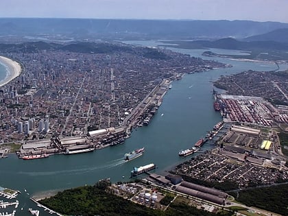
Among other places and attractions worth visiting in the area are: Estádio Municipal Antônio Fernandes (sport venue, 19 min walk), Shopping La Plage Guarujá (shopping, 24 min walk), Port of Santos, Santos (harbor, 60 min walk).
Coordinates: 24°0'26"S, 46°16'4"W
Day trips
Astúrias – popular in the area (distance from the attraction)
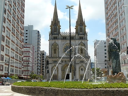
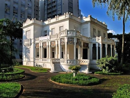
Nearby attractions include: Basilica of St. Anthony, Estádio Urbano Caldeira, Our Lady of the Rosary Cathedral, Shopping Pátio Iporanga.
Frequently Asked Questions (FAQ)
When is Astúrias open?
Astúrias is open:
- Monday 24h
- Tuesday 24h
- Wednesday 24h
- Thursday 24h
- Friday 24h
- Saturday 24h
- Sunday 24h
