Paróquia Santo Antônio, Cotia
Map
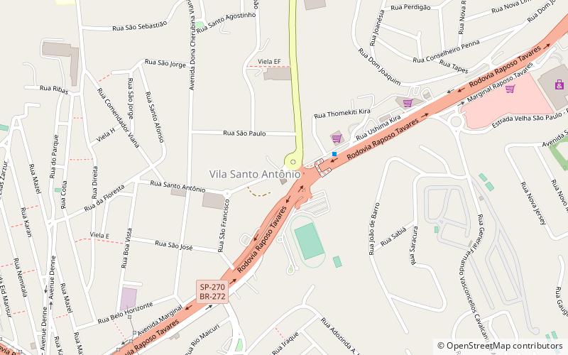
Map

Facts and practical information
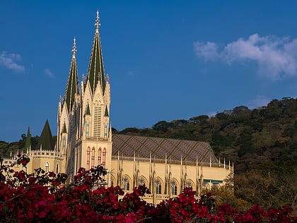
Paróquia Santo Antônio (address: R. Santo Antônio, 486) is a place located in Cotia (São Paulo state) and belongs to the category of church.
It is situated at an altitude of 2615 feet, and its geographical coordinates are 23°35'40"S latitude and 46°50'23"W longitude.
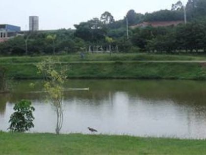
Among other places and attractions worth visiting in the area are: Parque Teresa Maia (park, 17 min walk), Zu Lai Temple (sacred and religious sites, 71 min walk), Templo Odsal Linkg (temple, 72 min walk).
Coordinates: 23°35'40"S, 46°50'23"W
Day trips
Paróquia Santo Antônio – popular in the area (distance from the attraction)
Nearby attractions include: Zu Lai Temple, Shopping Continental, Carapicuíba, Museu de Arte Sacra dos Jesuítas.
Frequently Asked Questions (FAQ)
When is Paróquia Santo Antônio open?
Paróquia Santo Antônio is open:
- Monday 8 am - 5 pm
- Tuesday 8 am - 5 pm
- Wednesday 8 am - 5 pm
- Thursday 8 am - 5 pm
- Friday 8 am - 5 pm
- Saturday 8 am - 5 pm
- Sunday 8 am - 9 am & 11 am - 12 pm & 7 pm - 8 pm
