Pedra da Mina, Serra da Mantiqueira Environmental Protection Area
Map

Gallery

Facts and practical information
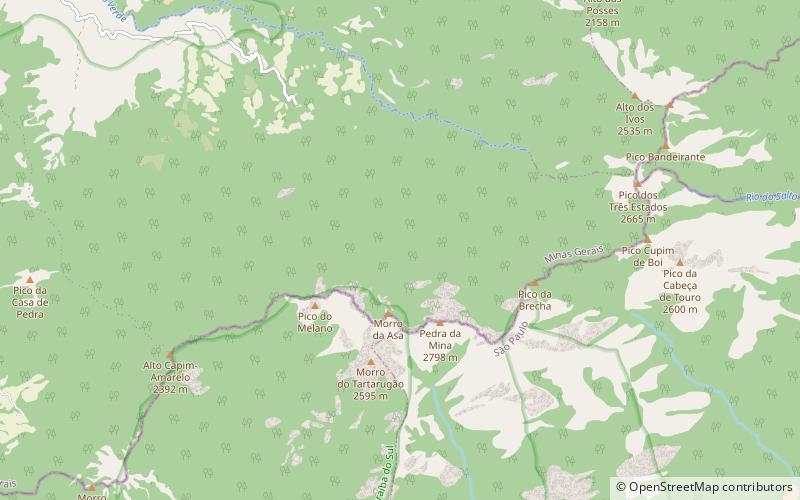
Pedra da Mina is the fourth highest mountain in Brazil, located in the Serra Fina section of the Mantiqueira Mountains, one of the country's most important mountain ranges. The mountain stands on the border of the states of Minas Gerais and São Paulo, respectively to its north and south. With a 2,798-metre elevation, it is the highest point of the Mantiqueira Mountains and of the state of São Paulo, and the second highest mountain in the state of Minas Gerais. ()
Alternative names: First ascent: 1955Elevation: 9180 ftProminence: 6785 ftCoordinates: 22°25'0"S, 44°50'60"W
Address
Serra da Mantiqueira Environmental Protection Area
ContactAdd
Social media
Add
Day trips
Pedra da Mina – popular in the area (distance from the attraction)
Nearby attractions include: Pico dos Três Estados, Mantiqueira Mountains.


