Jurujuba, Niterói
Map

Map

Facts and practical information
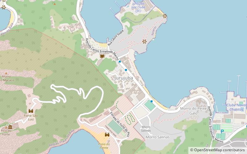
Jurujuba is a promontory and one of the 48 administrative districts into which the city of Niterói, Rio de Janeiro in Brazil is divided. It lies in the southern zone of the city, on the coast of the Guanabara Bay. ()
Address
Praias da Baía (Jurujuba)Niterói
ContactAdd
Social media
Add
Day trips
Jurujuba – popular in the area (distance from the attraction)
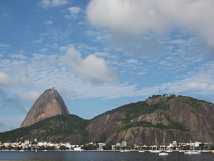
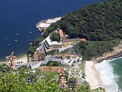
Nearby attractions include: Sugarloaf Mountain, Niterói Contemporary Art Museum, Morro da Urca, Forte de São Luís.
Frequently Asked Questions (FAQ)
How to get to Jurujuba by public transport?
The nearest stations to Jurujuba:
Bus
Ferry
Bus
- Jurujuba (15 min walk)
- Clube Naval Charitas • Lines: 33 (16 min walk)
Ferry
- Charitas • Lines: Charitas - Praça XV, Praça XV - Charitas (25 min walk)


