Parque Augusto Franco, Aracaju
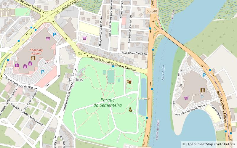
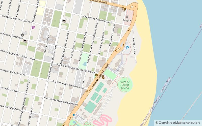
Map
Facts and practical information
Parque Augusto Franco is a place located in Aracaju (Sergipe state) and belongs to the category of sightseeing.
It is situated at an altitude of 26 feet, and its geographical coordinates are 10°56'40"S latitude and 37°3'12"W longitude.
Among other places and attractions worth visiting in the area are: Praça da Imprensa (park, 27 min walk), Batistão (football, 32 min walk), Praça Getúlio Vargas (park, 40 min walk).
Coordinates: 10°56'40"S, 37°3'12"W
Address
Aracaju
ContactAdd
Social media
Add
Day trips