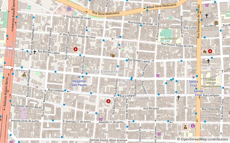
Vila Mariana, São Paulo
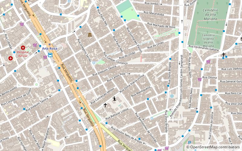
Map
Facts and practical information
Vila Mariana is a borough of the city of São Paulo, Brazil. Located to the south of Bela Vista and Liberdade, east of Jardim Paulista and west of Ipiranga, it's a dynamic area of the city. Similar to its neighbor district, Moema, it's a wealthy area and it comprises some of the most famous symbols of São Paulo, like the Ibirapuera Park, the Obelisk and Mausoleum of the heroes from the Constitutional Revolution in 1932 and the "Monumento às Bandeiras", and the Fundadores de São Paulo monument. ()
Address
Vila MarianaSão Paulo
ContactAdd
Social media
Add
Day trips
Vila Mariana – popular in the area (distance from the attraction)
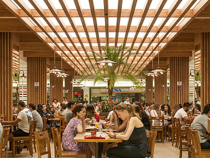
Nearby attractions include: Itaú Cultural, Casa das Rosas, Cinemateca Brasileira, Shopping Metrô Santa Cruz.
Frequently Asked Questions (FAQ)
Which popular attractions are close to Vila Mariana?
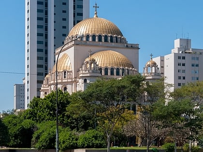
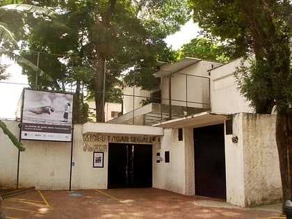
Nearby attractions include Cemitério Israelita da Vila Mariana, São Paulo (11 min walk), MUBA, São Paulo (16 min walk), Catedral Metropolitana Ortodoxa, São Paulo (18 min walk), Museu Lasar Segall, São Paulo (21 min walk).
How to get to Vila Mariana by public transport?
The nearest stations to Vila Mariana:
Bus
Trolleybus
Metro
Train
Bus
- Rua Baltazar Lisboa, 391 • Lines: 4114-10 (5 min walk)
- Rua Vergueiro, 2575 • Lines: 175P-10, 475M-10, 476G-41, 477A-10, 478P-10, 5290-10, 5705-10, 5791-10, 695T-51, 874T-10, 875A-10, 875H-10, 917M-10, 917M-31, N841-11 (6 min walk)
Trolleybus
- Rua Machado de Assis, 445 • Lines: 408A-10 (6 min walk)
- Rua Guimarães Passos, 260 • Lines: 408A-10 (7 min walk)
Metro
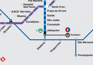
- Ana Rosa • Lines: 1, 2 (9 min walk)
- Vila Mariana • Lines: 1 (11 min walk)
Train
- Santa Cruz (29 min walk)
 Metro / Suburban rail


