Rua Augusta, São Paulo
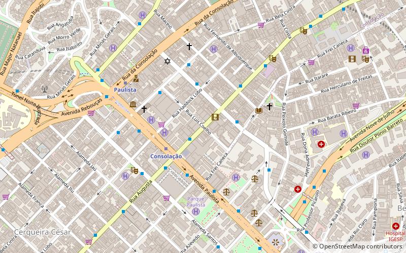
Map
Map

Facts and practical information
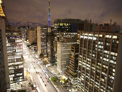
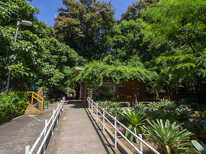
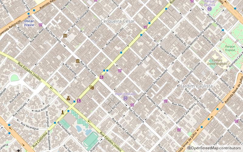
Rua Augusta is a street in São Paulo, Brazil, connecting the neighborhood of Jardins to the city's downtown. The upper part of the street, near Jardins is known as an upscale shopping street; the stretch known as Baixo Augusta, between the Paulista Avenue and Praça Roosevelt, is known by its nightlife, with clubs, bars and live music venues. ()
Address
Sé (Bela Vista)São Paulo
ContactAdd
Social media
Add
Day trips
Rua Augusta – popular in the area (distance from the attraction)
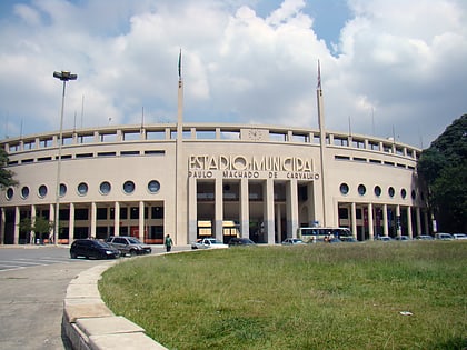
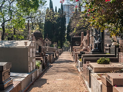
Nearby attractions include: Paulista Avenue, São Paulo Museum of Art, Pacaembu Stadium, Cemitério da Consolação.
Frequently Asked Questions (FAQ)
Which popular attractions are close to Rua Augusta?
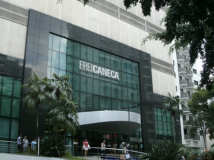
Nearby attractions include Colégio São Luís, São Paulo (4 min walk), Conjunto Nacional, São Paulo (5 min walk), Congregação Israelita Paulista, São Paulo (6 min walk), Frei Caneca Street, São Paulo (7 min walk).
How to get to Rua Augusta by public transport?
The nearest stations to Rua Augusta:
Bus
Metro
Trolleybus
Bus
- Rua Augusta, 1592 • Lines: 908T-10 (2 min walk)
- Rua Antônio Carlos, 196 • Lines: 427, N841-11 (3 min walk)
Metro
- Consolação • Lines: 2 (3 min walk)
- Paulista • Lines: 4 (7 min walk)
Trolleybus
- Rua Professor João Arruda, 57 • Lines: 408A-10 (33 min walk)

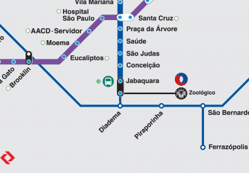 Metro / Suburban rail