Aricanduva, São Paulo
Map
Facts and practical information
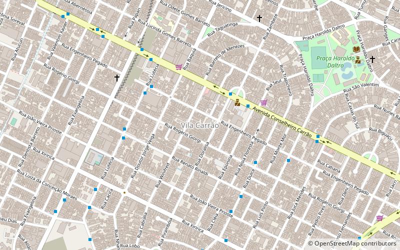
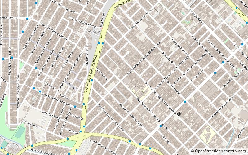
Aricanduva is a district in the subprefecture of the same name in the city of São Paulo, Brazil. It is located along the west bank of the Aricanduva River, which crosses the city from east to southeast. The name Aricanduva originated from one of the indigenous languages of Brazil known as Tupi and means "place where there are many palm trees of the airi species". ()
Address
Aricanduva - Formosa - Carrão (Aricanduva)São Paulo
ContactAdd
Social media
Add
Day trips
Aricanduva – popular in the area (distance from the attraction)
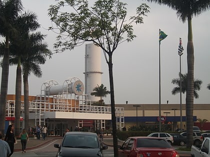
Nearby attractions include: Arena Corinthians, Shopping Leste Aricanduva, Shopping Anália Franco, SESC Itaquera.
Frequently Asked Questions (FAQ)
Which popular attractions are close to Aricanduva?
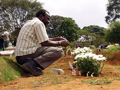
Nearby attractions include Sapopemba, São Paulo (12 min walk), Cemitério de Vila Formosa, São Paulo (22 min walk).
How to get to Aricanduva by public transport?
The nearest stations to Aricanduva:
Bus
Trolleybus
Bus
- Avenida Dos Nacionalistas, 347 • Lines: 3029-10 (8 min walk)
Trolleybus
- Avenida Rio Das Pedras, 1458 • Lines: 2290-10, 342M-10 (15 min walk)
- Avenida Rio Das Pedras, 1355 • Lines: 2290-10, 2290-21, 342M-10 (15 min walk)
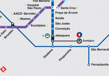 Metro / Suburban rail
