Benutan Dam

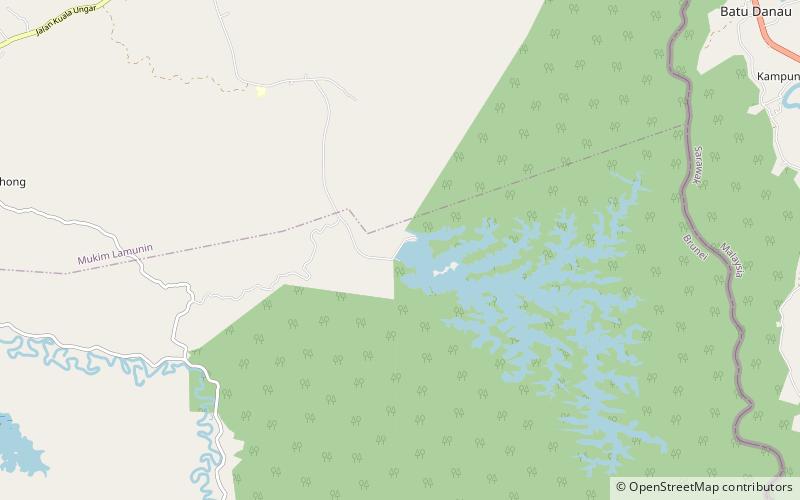
Map
Facts and practical information
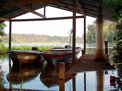
The Benutan Dam, also spelled Binutan, is an embankment dam on the Benutan River in Tutong District, Brunei. The dam was completed in 1988 with the primary purpose of increasing water supply to the capital of Brunei, Bandar Seri Begawan. It has a normal reservoir volume of 45,000,000 m3. ()
Opened: 1988 (38 years ago)Height: 72 ftCoordinates: 4°37'45"N, 114°45'4"E
Location
Tutong
ContactAdd
Social media
Add
Day trips
Benutan Dam – popular in the area (distance from the attraction)
Nearby attractions include: Tasek Merimbun.
