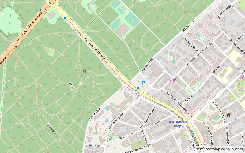
Dragan Tsankov Boulevard, Sofia
Map

Map

Facts and practical information
Dragan Tsankov Boulevard is a large boulevard in Bulgaria's capital Sofia. It is named after the Bulgarian politician Dragan Tsankov. It stretches from the intersection with Evlogi Georgiev Boulevard, north of which it is called Graf Ignatiev Street, and the junction with G. M. Dimitrov Boulevard, south of which it is called St Clement of Ohrid Boulevard. The Perlovska River flows under the boulevard at the junction with Evlogi Georgiev Boulevard. ()
Local name: Драган ЦанковLength: 2.11 miCoordinates: 42°40'25"N, 23°20'48"E
Address
Изгрев (Izgrev)Sofia
ContactAdd
Social media
Add
Day trips
Dragan Tsankov Boulevard – popular in the area (distance from the attraction)
Nearby attractions include: Sofia Land, Sofia Zoo, Arena Armeec, Vasil Levski National Stadium.
Frequently Asked Questions (FAQ)
Which popular attractions are close to Dragan Tsankov Boulevard?
Nearby attractions include Izgrev, Sofia (7 min walk), TV Tower, Sofia (9 min walk), Borisova gradina, Sofia (10 min walk), Sofia Theological Seminary, Sofia (14 min walk).
How to get to Dragan Tsankov Boulevard by public transport?
The nearest stations to Dragan Tsankov Boulevard:
Bus
Metro
Trolleybus
Tram
Bus
- Russian embassy • Lines: 413, 67 (2 min walk)
- TV Tower • Lines: 413, 67 (8 min walk)
Metro
- Fr. Joliot-Curie • Lines: M1, M4 (7 min walk)
- G. M. Dimitrov • Lines: M1, M4 (25 min walk)
Trolleybus
- Хотел Плиска • Lines: 11, 3, 4, 5 (17 min walk)
- ж.к. Изток • Lines: 11, 3, 4, 5 (23 min walk)
Tram
- Seminary • Lines: 10 (19 min walk)
- ул. Александър Жендов • Lines: 20 (19 min walk)


