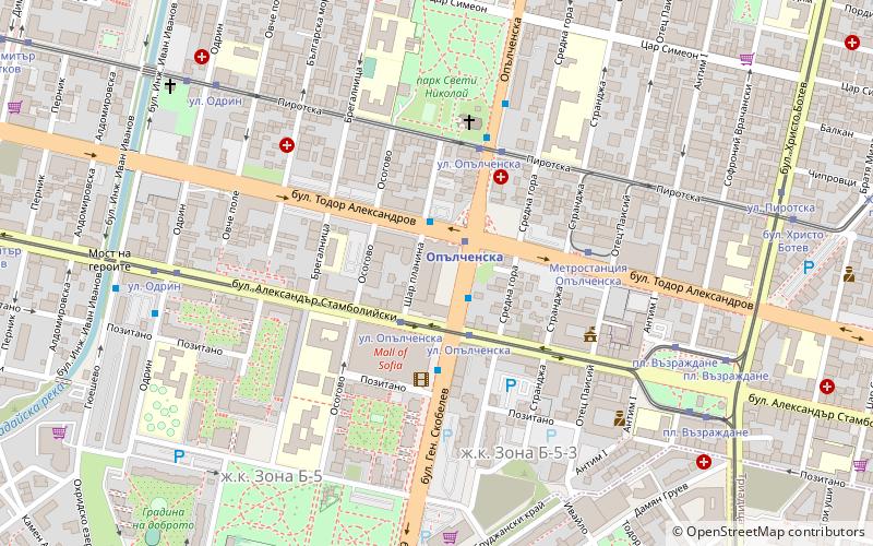
Vazrazhdane, Sofia

Map
Facts and practical information
Vazrazhdane is a district in the centre of Sofia. As of 2012 it has 49,158 inhabitants. The district's area is 3.16 km2 or 2,5% of the total capital area. It has several neighbourhoods: the Zones B-2, B-3, B-4, B-5, B-18 and B-19 as well as Serdika. The territory of the regions is divided as follows: residential zone- 1.21 km2; parks, gardens and green zones- 1.36 km2; industrial zone- 0.15 km2; public zones including roads, squares and infrastructure- 0.43 km2. ()
Address
Възраждане (V zrazdane)Sofia
ContactAdd
Social media
Add
Day trips
Vazrazhdane – popular in the area (distance from the attraction)
Nearby attractions include: Vitosha Boulevard, Mall of Sofia, TZUM, Banya Bashi Mosque.
Frequently Asked Questions (FAQ)
Which popular attractions are close to Vazrazhdane?
Nearby attractions include Park V"zrazdane, Sofia (9 min walk), National Polytechnic Museum, Sofia (9 min walk), Russian Monument, Sofia (13 min walk), Cathedral of St Joseph, Sofia (14 min walk).
How to get to Vazrazhdane by public transport?
The nearest stations to Vazrazhdane:
Metro
Tram
Bus
Trolleybus
Train
Metro
- Opalchenska • Lines: M1, M4 (2 min walk)
- Konstantin Velichkov • Lines: M1, M4 (15 min walk)
Tram
- ул. Опълченска • Lines: 10, 3, 8 (2 min walk)
- Opalchenska str. • Lines: 22 (4 min walk)
Bus
- бул. Ал. Стамболийски • Lines: 60, 74 (9 min walk)
- ул. Пиротска • Lines: 60, 74 (5 min walk)
Trolleybus
- УМБАЛ Александровска • Lines: 2, 8, 9 (24 min walk)
- Сатиричен театър • Lines: 9 (26 min walk)
Train
- Sofia Central Railway Station (27 min walk)
- Sugar factory (34 min walk)


