Slatina, Sofia
Map

Map

Facts and practical information
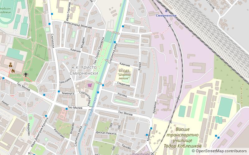
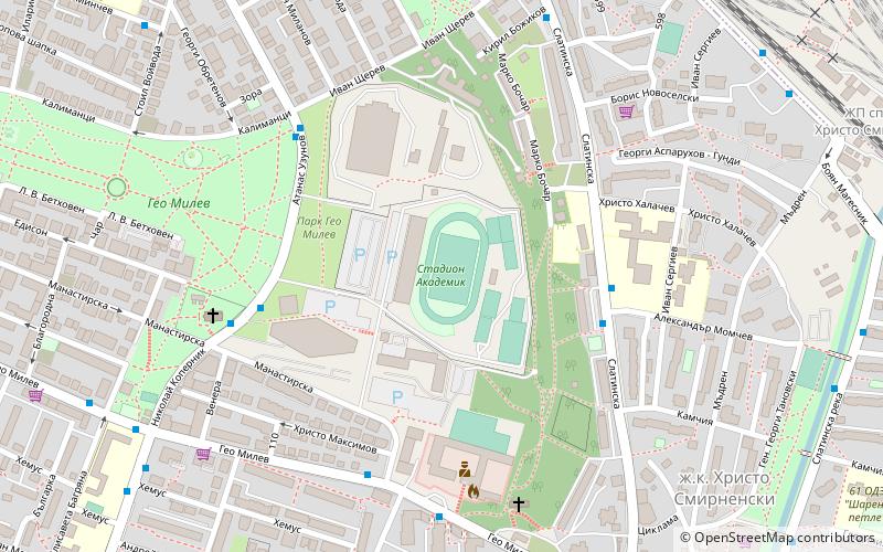
Slatina is a district located in the eastern parts of the capital Sofia. As of 2006 it has 65,772 inhabitants. The district has an area of 13.25 km² which counts for 6.69% of the total Capital Municipality area. It is a flat country with some heights to the west. ()
Address
Слатина (Slatina)Sofia
ContactAdd
Social media
Add
Day trips
Slatina – popular in the area (distance from the attraction)
Nearby attractions include: Serdika Center Sofia, Arena Armeec, The Mall, Museum of Socialist Art.
Frequently Asked Questions (FAQ)
How to get to Slatina by public transport?
The nearest stations to Slatina:
Bus
Train
Tram
Trolleybus
Bus
- бл. 15 ж.к. Хр. Смирненски • Lines: 404, 75 (3 min walk)
- бл. 7 ж.к. Хр. Смирненски • Lines: 404, 75 (4 min walk)
Train
- Смирненски (8 min walk)
- Poduyane Razpr.sr.r. (26 min walk)
Tram
- Ск Цска • Lines: 20, 23 (13 min walk)
- zh.k. Geo Milev • Lines: 20, 23 (13 min walk)
Trolleybus
- Площад на авиацията • Lines: 11, 3, 4, 5 (27 min walk)
- ж.к. Изток • Lines: 11, 3, 4, 5 (25 min walk)


