Freedom Park, Phnom Penh
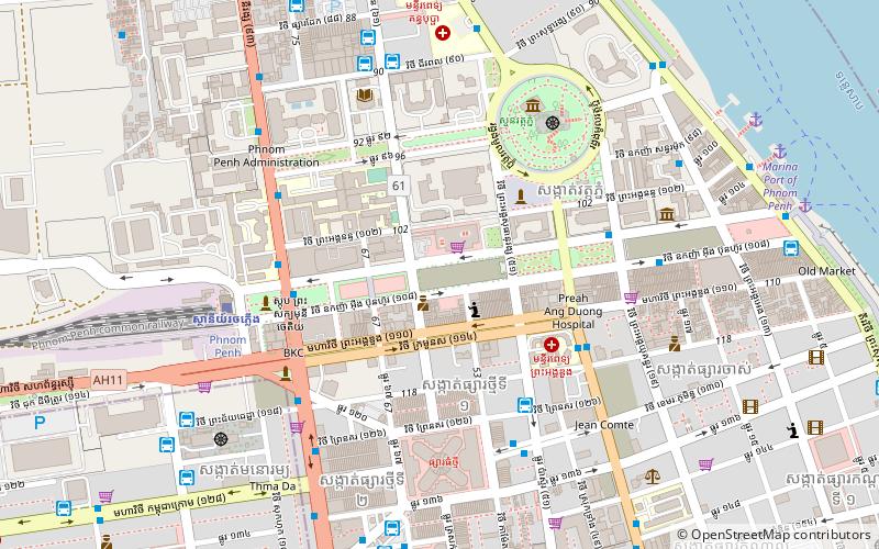
Map
Map

Facts and practical information
Freedom Park, also known as Democracy Park, is a 1.2-hectare plaza in Phnom Penh, Cambodia. The park has been the location and focus for political demonstrations against Prime Minister Hun Sen's regime. ()
Elevation: 59 ft a.s.l.Coordinates: 11°34'24"N, 104°55'16"E
Address
Phnom Penh
ContactAdd
Social media
Add
Day trips
Freedom Park – popular in the area (distance from the attraction)
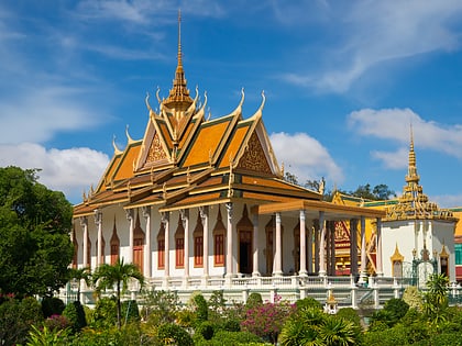
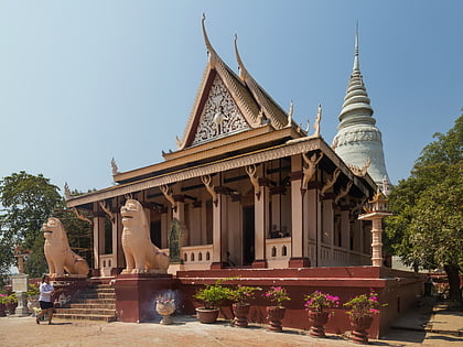
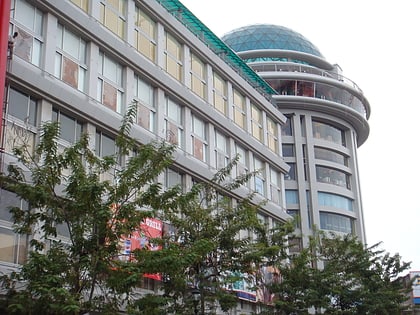
Nearby attractions include: Olympic Stadium, Silver Pagoda, Wat Phnom, Sorya Shopping Center.
Frequently Asked Questions (FAQ)
Which popular attractions are close to Freedom Park?
Nearby attractions include Doun Penh District, Phnom Penh (4 min walk), National University of Management, Phnom Penh (5 min walk), Cambodia Securities Exchange, Phnom Penh (5 min walk), National Library of Cambodia, Phnom Penh (6 min walk).
How to get to Freedom Park by public transport?
The nearest stations to Freedom Park:
Bus
Train
Bus
- Golden Bayon Express (6 min walk)
- Ang Duong Hospital • Lines: 2, 3 (6 min walk)
Train
- Phnom Penh (8 min walk)


