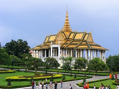
Chroy Changva Bridge, Phnom Penh
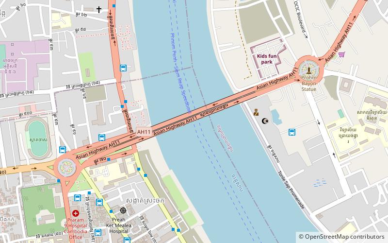
Map
Facts and practical information
The Chroy Changva Bridge is a 709-meter bridge that crosses the Tonle Sap River in Phnom Penh, originally built in 1963, with Japanese aid. Severely damaged during the civil war in 1972 and 1973, it remained closed until it reopened on the 26th of February 1994 About 10 km north of it there is another bridge the Prek Kdam Bridge, then the Prek Pnov Bridge and no more bridges on the Tonle Sap, a temporary bridge should open in April 2018, the construction of a concrete bridge should start just after that. ()
Address
Phnom Penh
ContactAdd
Social media
Add
Day trips
Chroy Changva Bridge – popular in the area (distance from the attraction)
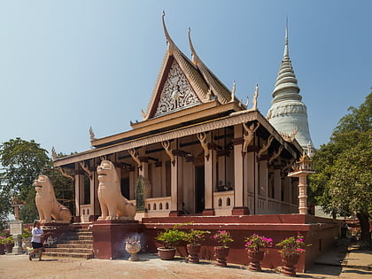
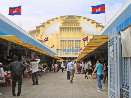
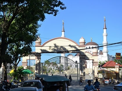
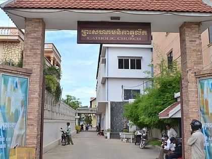
Nearby attractions include: Wat Phnom, Central Market, Al-Serkal Mosque, St Joseph's Church.
Frequently Asked Questions (FAQ)
Which popular attractions are close to Chroy Changva Bridge?
Nearby attractions include St Joseph's Church, Phnom Penh (12 min walk), National Library of Cambodia, Phnom Penh (20 min walk), Al-Serkal Mosque, Phnom Penh (20 min walk), Wat Phnom, Phnom Penh (20 min walk).
How to get to Chroy Changva Bridge by public transport?
The nearest stations to Chroy Changva Bridge:
Bus
Train
Bus
- Doun Penh Health Center • Lines: 1A, 3 (6 min walk)
- Kolab School • Lines: 3 (6 min walk)
Train
- Phnom Penh (28 min walk)
