SkyWalk, Toronto
Map
Gallery
Facts and practical information
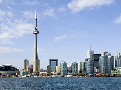
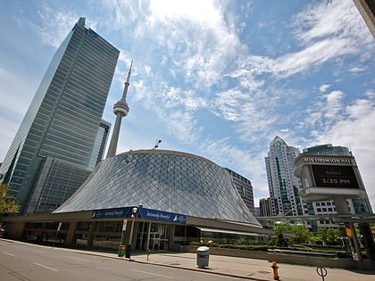
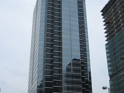
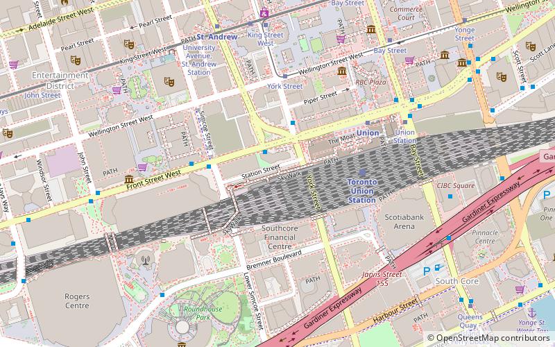
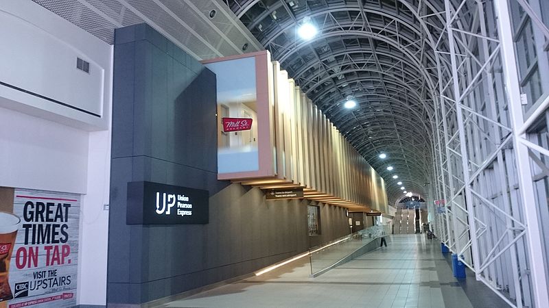
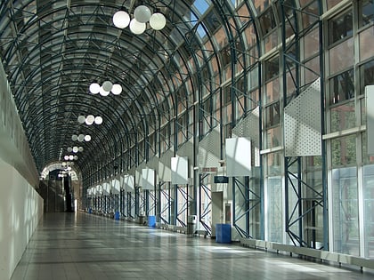
The SkyWalk is an approximately 160 metre enclosed walkway connecting Union Station to the CN Tower and the Rogers Centre in Toronto, Ontario, Canada. Part of Toronto's PATH network, the SkyWalk passes above the York Street 'subway' and the Simcoe Street Tunnel and runs roughly parallel between Front Street and Bremner Boulevard. ()
Opened: 1989 (37 years ago)Coordinates: 43°38'40"N, 79°22'59"W
Address
Downtown Toronto (Entertainment District)Toronto
ContactAdd
Social media
Add
Day trips
SkyWalk – popular in the area (distance from the attraction)
Nearby attractions include: CN Tower, Air Canada Centre, First Canadian Place, Ripley's Aquarium of Canada.
Frequently Asked Questions (FAQ)
Which popular attractions are close to SkyWalk?
Nearby attractions include Railway Lands, Toronto (3 min walk), RBC Centre, Toronto (4 min walk), Maple Leaf Square, Toronto (5 min walk), South Core, Toronto (5 min walk).
How to get to SkyWalk by public transport?
The nearest stations to SkyWalk:
Train
Tram
Metro
Bus
Ferry
Train
- Toronto Union Station (4 min walk)
Tram
- York Street • Lines: 503 (4 min walk)
- Union Station • Lines: 509, 510A (6 min walk)
Metro
- Union • Lines: 1 (5 min walk)
- St. Andrew • Lines: 1 (7 min walk)
Bus
- Front Street West • Lines: 19 (6 min walk)
- Bay Street • Lines: 121 (7 min walk)
Ferry
- Jack Layton Ferry Terminal • Lines: Toronto Island Ferry, Ward's Island (13 min walk)
- Bathurst Street Terminal • Lines: Billy Bishop Airport Ferry (27 min walk)
 Subway
 Streetcar system
 PATH
PATH