Financial District, Toronto
Facts and practical information
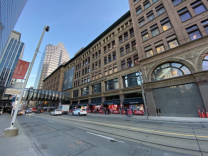
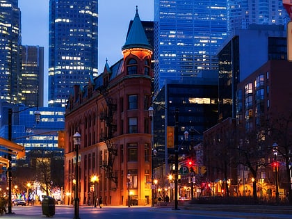
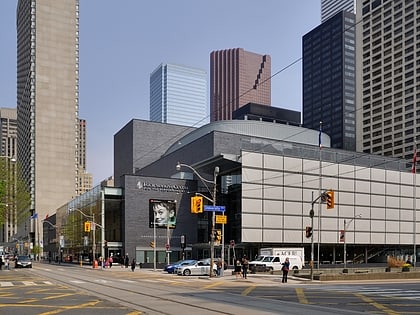
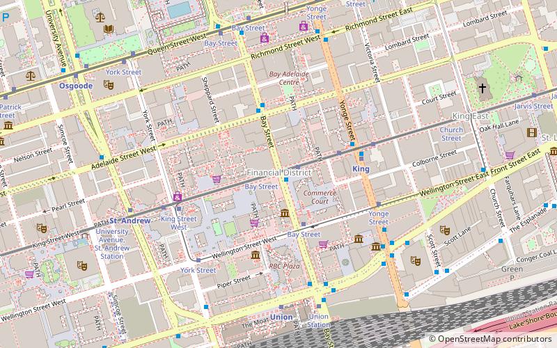
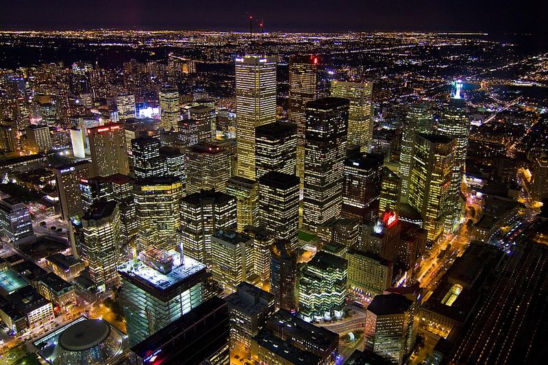
The Financial District is the central business district of Downtown Toronto, Ontario, Canada. It was originally planned as New Town in 1796 as an extension of the Town of York. It is the main financial district in Toronto and is considered the heart of Canada's finance industry. It is bounded roughly by Queen Street West to the north, Yonge Street to the east, Front Street to the south, and University Avenue to the west, though many office towers in the downtown core have been and are being constructed outside this area, which will extend the general boundaries. Examples of this trend are the Telus Harbour, RBC Centre, and CIBC Square. ()
Financial District – popular in the area (distance from the attraction)
Nearby attractions include: Hockey Hall of Fame, First Canadian Place, IIHF Hall of Fame, Old City Hall.
Frequently Asked Questions (FAQ)
Which popular attractions are close to Financial District?
How to get to Financial District by public transport?
Bus
- King Street West • Lines: 19 (1 min walk)
- Adelaide Street West • Lines: 19 (3 min walk)
Tram
- Bay Street • Lines: 503, 504A, 504B (3 min walk)
- Yonge Street, King Station • Lines: 503, 504A, 504B (4 min walk)
Metro
- King • Lines: 1 (4 min walk)
- Union • Lines: 1 (6 min walk)
Train
- Toronto Union Station (8 min walk)
Ferry
- Jack Layton Ferry Terminal • Lines: Toronto Island Ferry, Ward's Island (17 min walk)
- Bathurst Street Terminal • Lines: Billy Bishop Airport Ferry (35 min walk)

 Subway
 Streetcar system
 PATH
PATH


