Old City Hall Cenotaph, Toronto
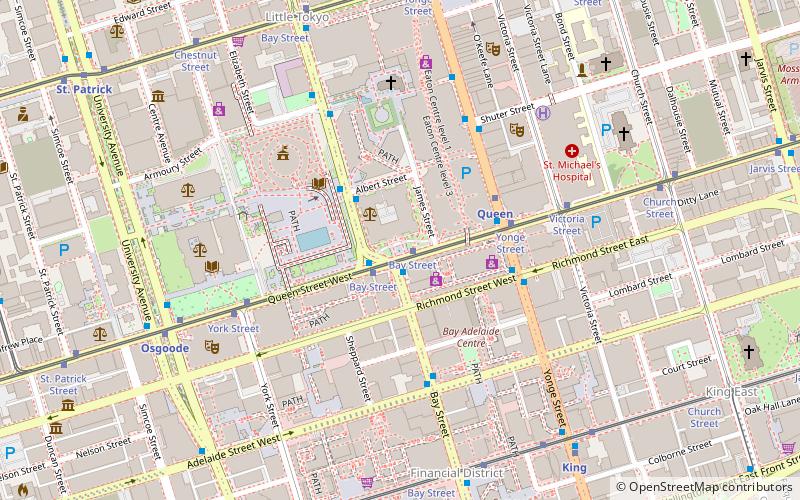
Map
Gallery
Facts and practical information
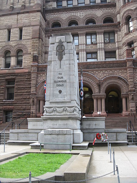
The Old City Hall Cenotaph is a cenotaph located at the front steps of Old City Hall in Toronto, Ontario, Canada. ()
Completed: 1925 (101 years ago)Coordinates: 43°39'8"N, 79°22'53"W
Day trips
Old City Hall Cenotaph – popular in the area (distance from the attraction)
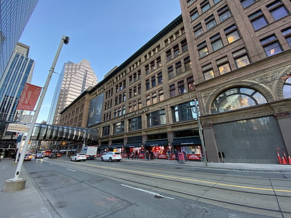
Nearby attractions include: CF Toronto Eaton Centre, First Canadian Place, Old City Hall, Hudson's Bay.
Frequently Asked Questions (FAQ)
Which popular attractions are close to Old City Hall Cenotaph?
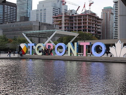
Nearby attractions include Old City Hall, Toronto (1 min walk), York, Toronto (1 min walk), 3D Toronto sign, Toronto (3 min walk), Nathan Phillips Square, Toronto (3 min walk).
How to get to Old City Hall Cenotaph by public transport?
The nearest stations to Old City Hall Cenotaph:
Tram
Bus
Metro
Train
Ferry
Tram
- Bay Street • Lines: 501, 501;301 (1 min walk)
- Yonge Street • Lines: 501, 501;301 (3 min walk)
Bus
- Queen Street West • Lines: 19 (1 min walk)
- Albert Street • Lines: 19 (3 min walk)
Metro
- Queen • Lines: 1 (3 min walk)
- Osgoode • Lines: 1 (7 min walk)
Train
- Toronto Union Station (14 min walk)
Ferry
- Jack Layton Ferry Terminal • Lines: Toronto Island Ferry, Ward's Island (23 min walk)

 Subway
 Streetcar system
 PATH
PATH


