British Empire Range
Map

Map

Facts and practical information
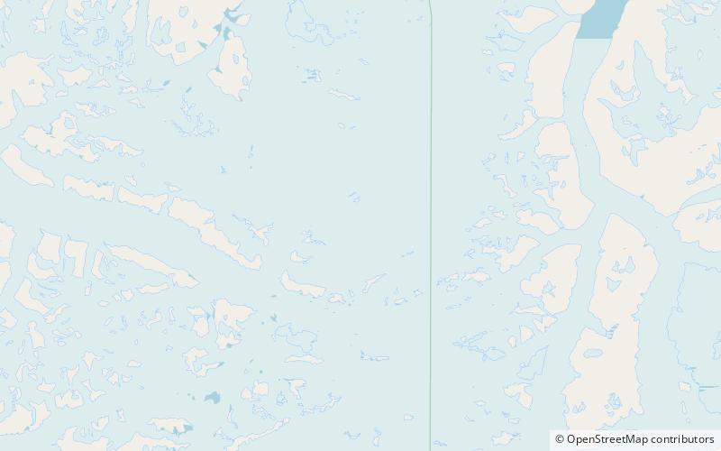
The British Empire Range is a mountain range on Ellesmere Island in Nunavut, Canada. The range is one of the most northern ranges in the world and the Arctic Cordillera, surpassed only by the Challenger Mountains which lies immediately to the northwest and the United States Range slightly further east. The highest mountain in the range is Barbeau Peak. ()
Alternative names: Area: 6454.46 mi²Maximum elevation: 8583 ftElevation: 8583 ftCoordinates: 82°20'60"N, 77°30'0"W
Location
Nunavut
ContactAdd
Social media
Add
