Mushroom Peak, Jasper National Park
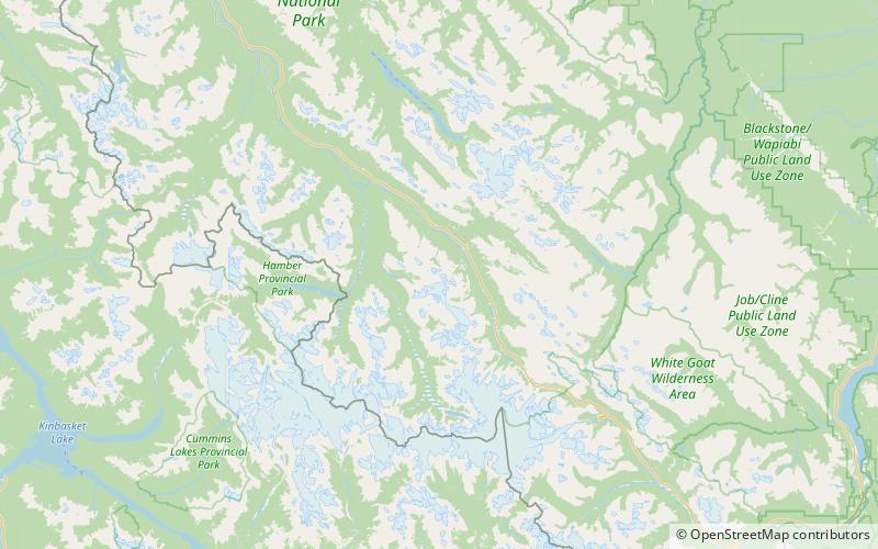
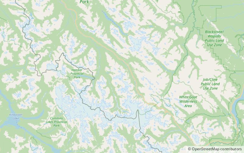
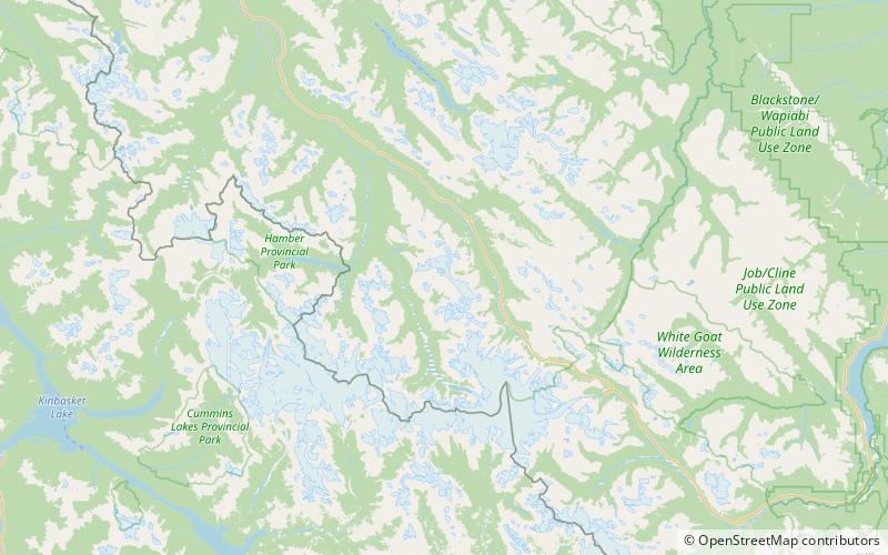
Map
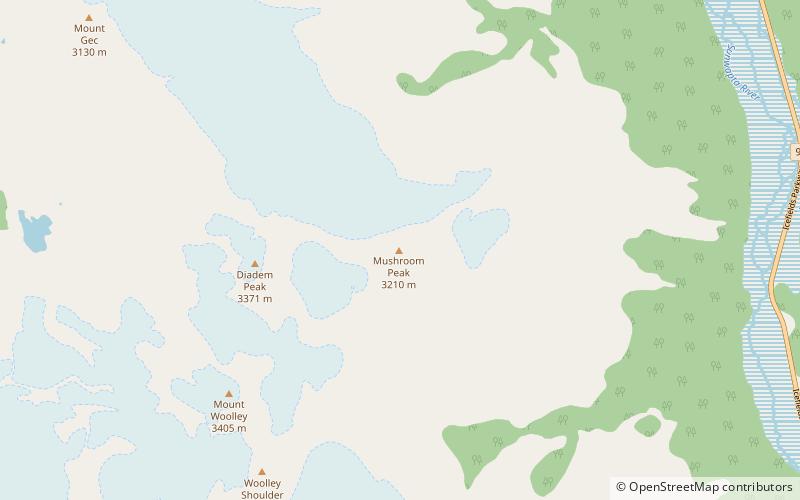
Map

Facts and practical information
Mushroom Peak is a mountain located in the Sunwapta River valley of Alberta, Canada's Jasper National Park, lying just over a kilometre east of Diadem Peak. The mountain was named in 1947 by Noel E. Odell who made the first ascent. Upon reaching the summit, he found that the dark limestone rocks there resembled mushrooms. The mountain can be seen from the Icefields Parkway. ()
Alternative names: First ascent: 1947Elevation: 10531 ftProminence: 886 ftCoordinates: 52°18'42"N, 117°23'49"W
Address
Jasper National Park
ContactAdd
Social media
Add
Day trips
Mushroom Peak – popular in the area (distance from the attraction)
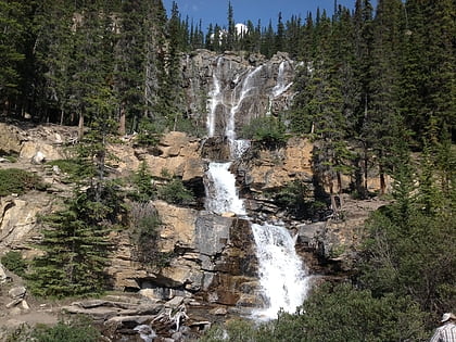
Nearby attractions include: Tangle Falls, Mount Woolley, Mount Alberta, Tangle Ridge.

