Byron Linear Tramway Park, Ottawa
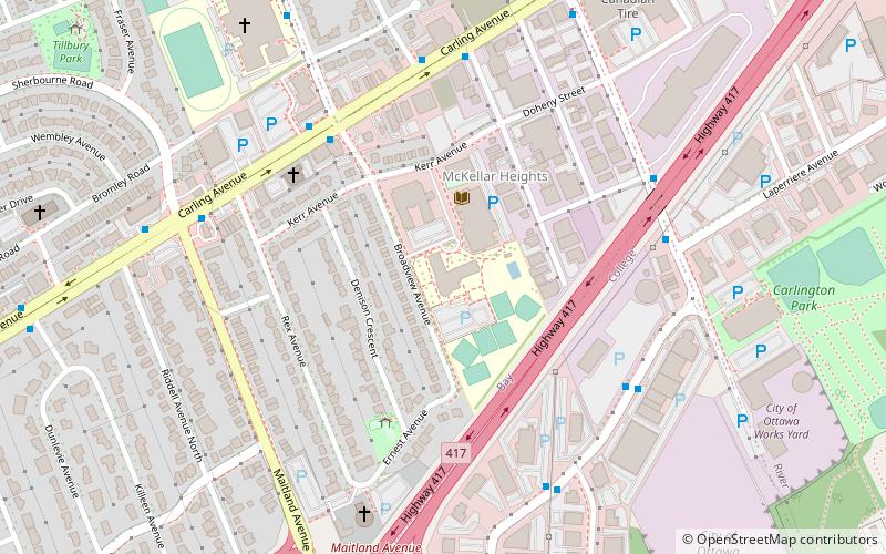
Map
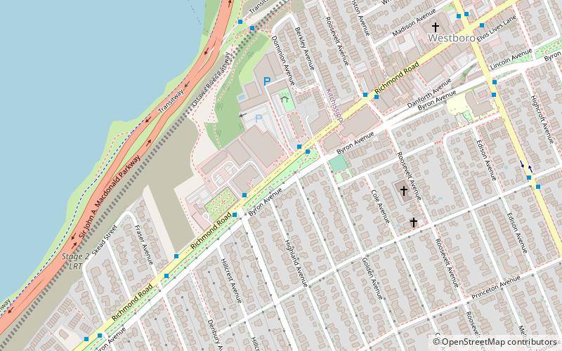
Map

Facts and practical information
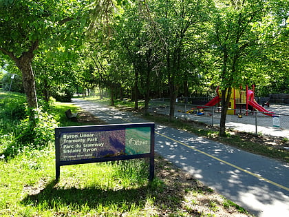
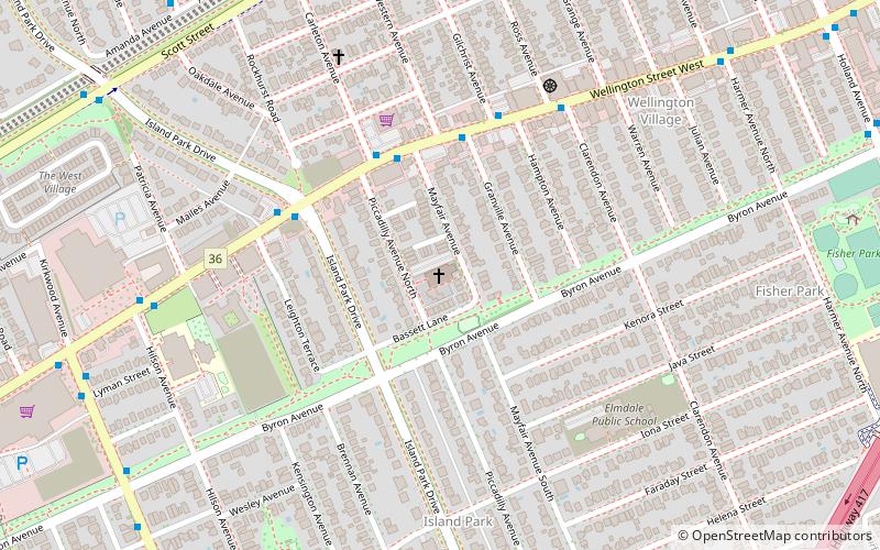
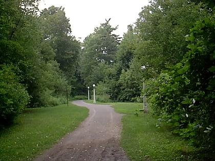
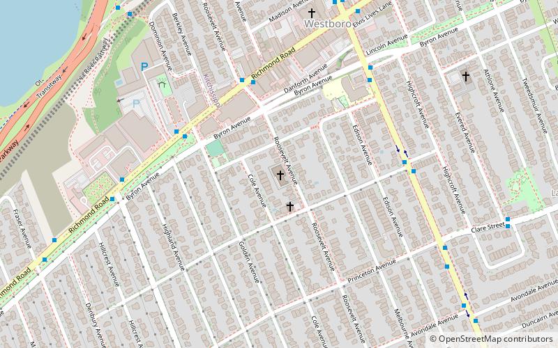
Byron Linear Tramway Park is a municipal park in Kitchissippi Ward and Bay Ward in Ottawa, Ontario, Canada. The park forms a narrow strip of park land that runs westward from Holland Avenue to Richardson Avenue in Woodpark, with the exception of Westboro Village. Running through the entirety of the park is a path through grass and trees. The park forms a narrow 2.5 km strip, but has a width varies between 5 and 15 metres. ()
Elevation: 210 ft a.s.l.Coordinates: 45°23'20"N, 75°45'34"W
Address
579 Byron AvenueWestboroOttawa
ContactAdd
Social media
Add
Day trips
Byron Linear Tramway Park – popular in the area (distance from the attraction)
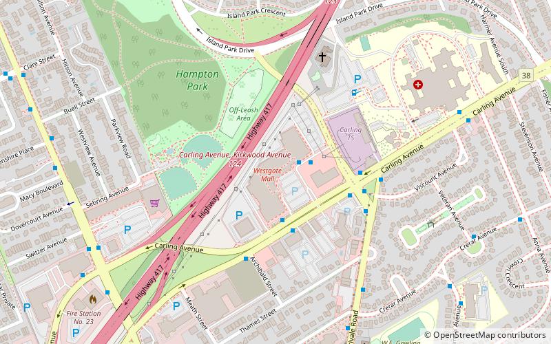
Nearby attractions include: Carlingwood Shopping Centre, St. George's Parish, Westgate Shopping Centre, Canadian Ski Museum.
Frequently Asked Questions (FAQ)
Which popular attractions are close to Byron Linear Tramway Park?
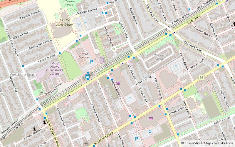
Nearby attractions include Westboro Studio, Ottawa (1 min walk), Maplelawn, Ottawa (3 min walk), Westminster Presbyterian Church, Ottawa (5 min walk), Canadian Ski Museum, Ottawa (18 min walk).
How to get to Byron Linear Tramway Park by public transport?
The nearest stations to Byron Linear Tramway Park:
Bus
Light rail
Bus
- Richmond / Golden • Lines: 11, 153 (2 min walk)
Light rail
- Tunney's Pasture O-Train East/Est • Lines: 1 (40 min walk)
