Carlington Park, Ottawa
Map
Gallery
Facts and practical information
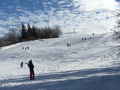
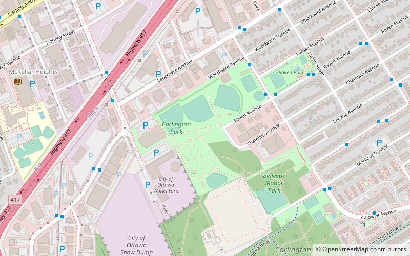
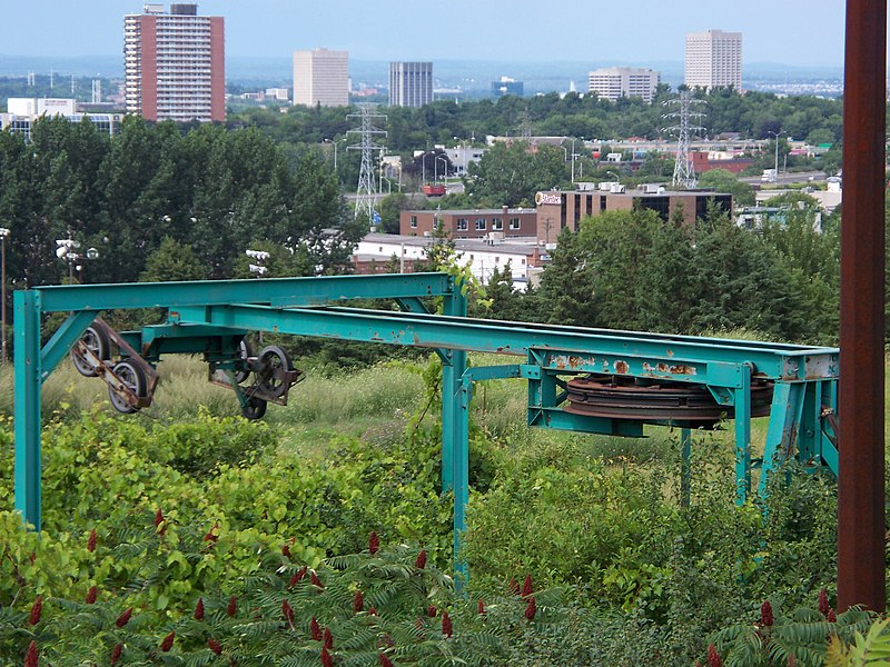
Carlington Park is a large park in Ottawa, Ontario, Canada. It contains one of Ottawa's largest hills. It is a City of Ottawa owned and operated park. Located in Carlington, a neighbourhood in the west end of Ottawa, it is bordered by McBride, Morriset, Clyde, and Laperriere street. Its official address is 1640 Laperriere Ave, Ottawa, ON, however the address of Carlington Hill is 1599 Morisset Ave, Ottawa, ON. ()
Elevation: 285 ft a.s.l.Coordinates: 45°22'29"N, 75°44'39"W
Address
937 Clyde Avenue NorthCarlingtonOttawa
ContactAdd
Social media
Add
Day trips
Carlington Park – popular in the area (distance from the attraction)
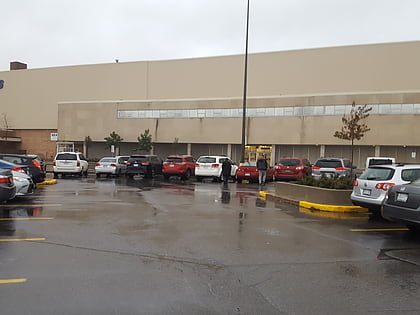
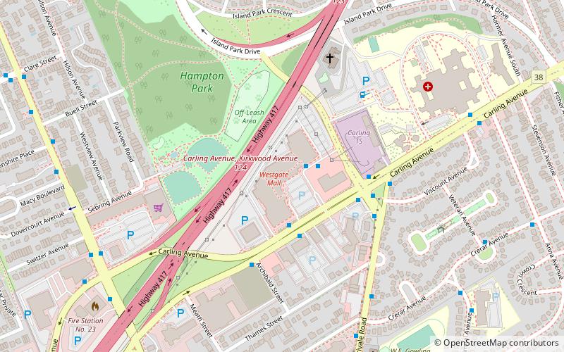
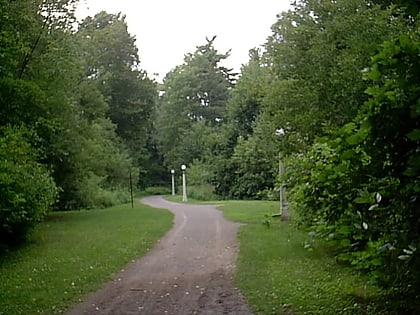
Nearby attractions include: Carlingwood Shopping Centre, Westgate Shopping Centre, Hampton Park, St. Michael and All Angels Anglican Church.
Frequently Asked Questions (FAQ)
Which popular attractions are close to Carlington Park?
Nearby attractions include McKellar Heights, Ottawa (10 min walk), Adath Shalom, Ottawa (11 min walk), Carlington, Ottawa (18 min walk), Braemar Park, Ottawa (21 min walk).
How to get to Carlington Park by public transport?
The nearest stations to Carlington Park:
Bus
Bus
- Mcbride / Raven • Lines: 114, 53 (4 min walk)
- Mcbride / Woodward • Lines: 114, 53, 81 (5 min walk)
