Prospect Point, Vancouver
Map
Map

Facts and practical information
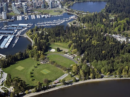
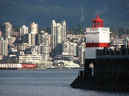
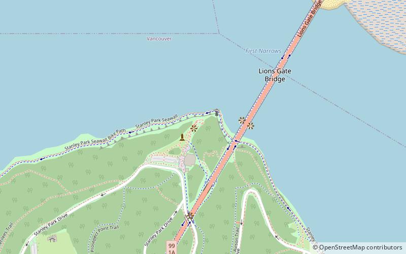
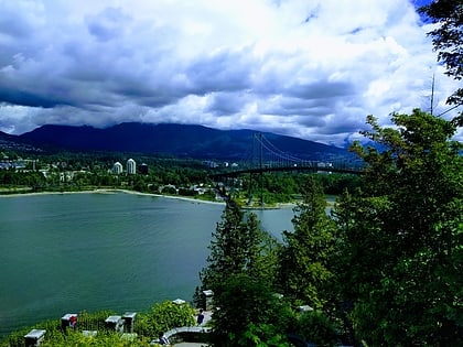
Prospect Point is a point at the northern tip of Stanley Park in Vancouver, British Columbia, Canada, located on the south side of the First Narrows of Burrard Inlet. The point, which as its name suggests, is a viewpoint, landmark and tourist attraction in Stanley Park and has a restaurant and other facilities, is just west of the Lions Gate Bridge. ()
Coordinates: 49°18'49"N, 123°8'31"W
Day trips
Prospect Point – popular in the area (distance from the attraction)
Nearby attractions include: Stanley Park, Vancouver Aquarium, Park Royal, Hollow Tree.
Frequently Asked Questions (FAQ)
Which popular attractions are close to Prospect Point?
Nearby attractions include Lions Gate Bridge, Vancouver (3 min walk), Lions Gate Bridge, Vancouver (11 min walk), Hollow Tree, Vancouver (19 min walk), Siwash Rock, Vancouver (19 min walk).
How to get to Prospect Point by public transport?
The nearest stations to Prospect Point:
Bus
Trolleybus
Bus
- Marine Dr at Main St • Lines: 250, 251, 252, 253, 255, 256 (24 min walk)
- Marine Dr at 1000 Block • Lines: 256 (24 min walk)
Trolleybus
- Stanley Park Loop Bay 2 • Lines: 19 (25 min walk)
- Lost Lagoon Rd at Stanley Park Causeway • Lines: 19 (31 min walk)
 SkyTrain