Festubert Mountain, Waterton Lakes National Park
Map
Facts and practical information
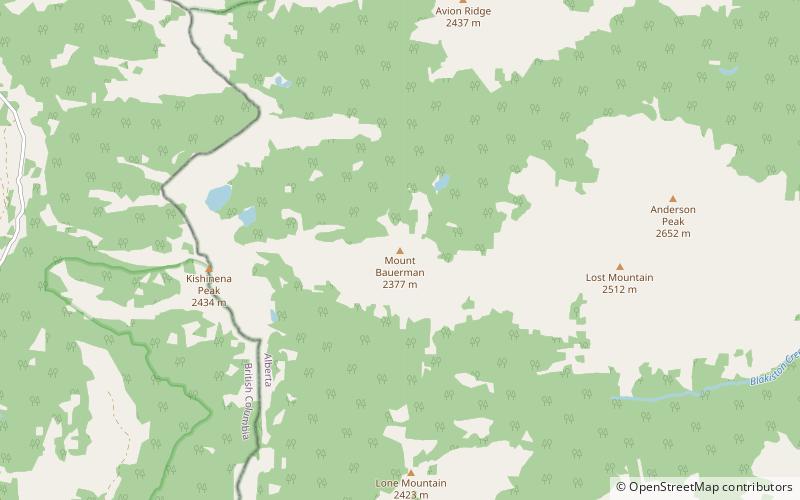
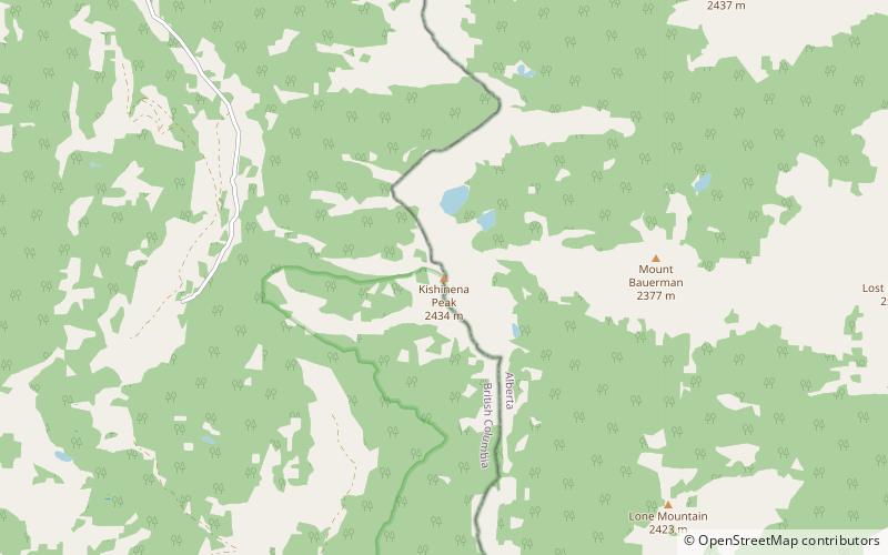
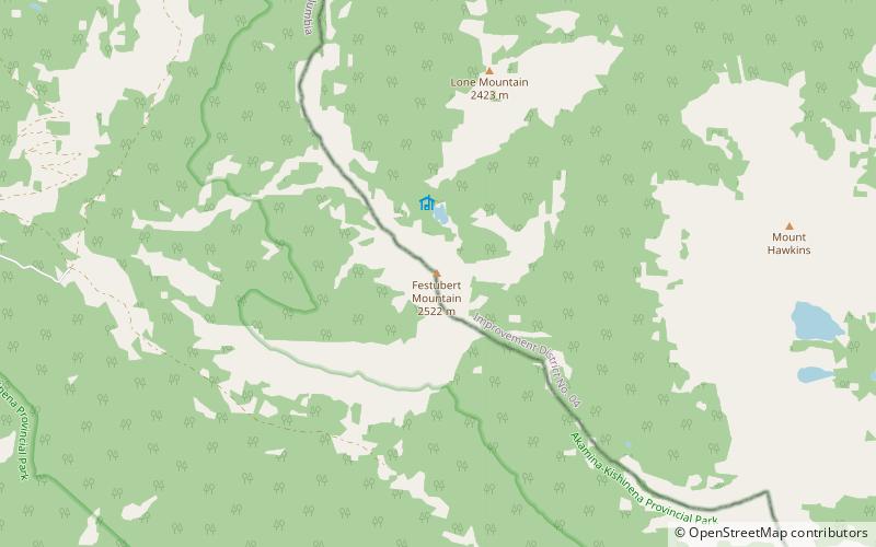
Festubert Mountain is located on the border of Alberta and British Columbia on the Continental Divide. It was named after Festubert, a village in France. ()
Elevation: 8268 ftProminence: 968 ftCoordinates: 49°4'58"N, 114°7'55"W
Address
Waterton Lakes National Park
ContactAdd
Social media
Add
Day trips