Mount Blakiston, Waterton Lakes National Park
Map
Map

Facts and practical information
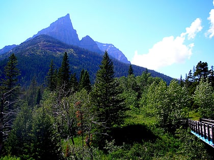
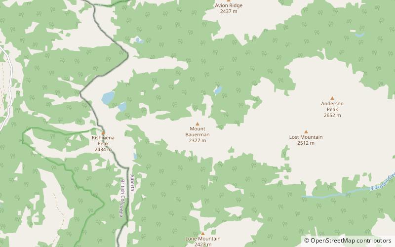
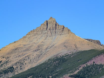
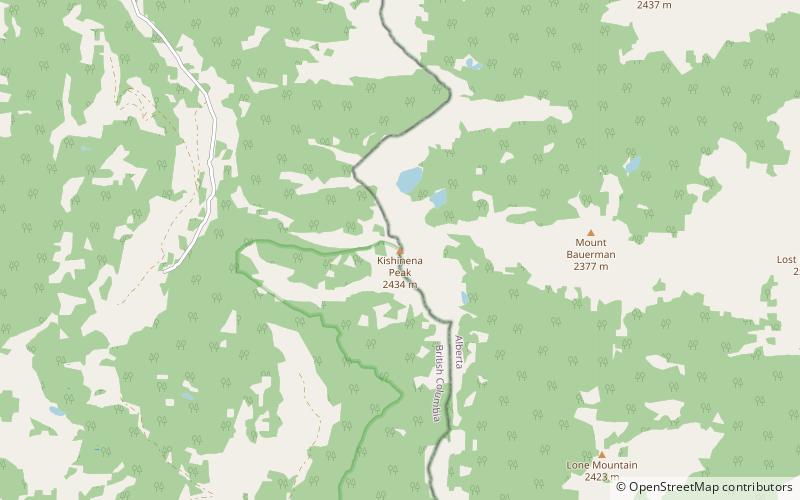
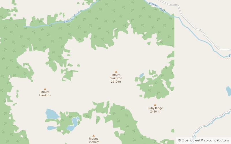
Mount Blakiston is a mountain in the southwestern corner of Alberta, Canada and the highest point within Waterton Lakes National Park. The mountain is situated in the Clark Range, north of Lineham Creek and south of Blakiston Creek. Blakiston's closest neighbours include Mount Hawkins 2,685 m directly to the west along a connecting ridge and Mount Lineham 2,728 m to the south. ()
Address
Waterton Lakes National Park
ContactAdd
Social media
Add
Day trips
Mount Blakiston – popular in the area (distance from the attraction)
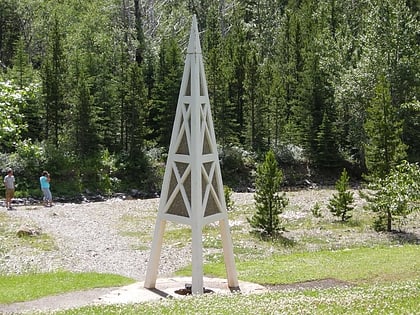
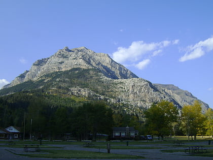
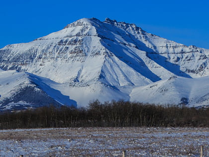
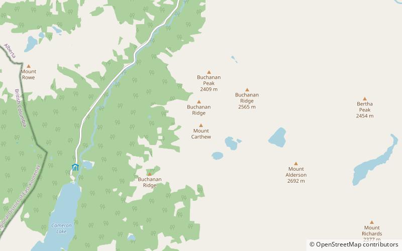
Nearby attractions include: First Oil Well in Western Canada, Mount Crandell, Mount Dungarvan, Mount Alderson.
