Beth Shalom Synagogue, Edmonton
Map
Facts and practical information
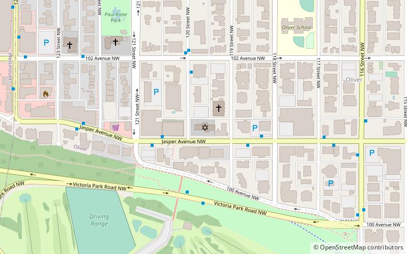
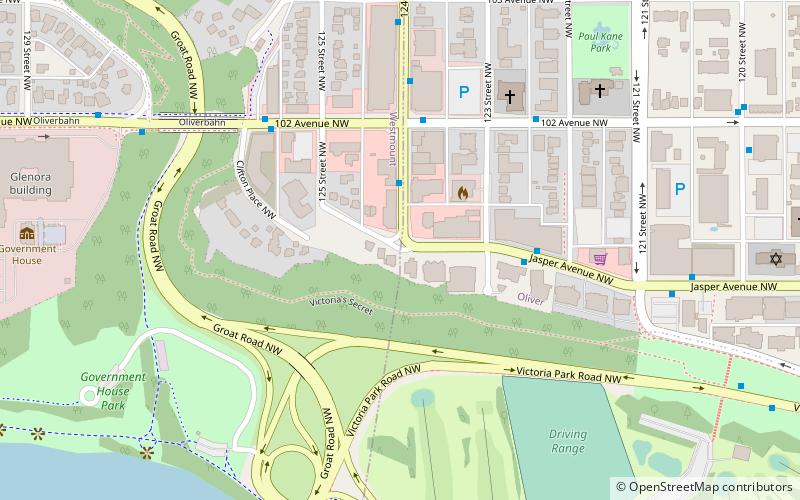
Beth Shalom Synagogue is a Conservative synagogue located at 11916 Jasper Avenue in the Oliver neighbourhood in Edmonton, Alberta, Canada. Founded in 1932, it is the city's second oldest synagogue. ()
Completed: 1951 (75 years ago)Coordinates: 53°32'29"N, 113°31'41"W
Getting there by public transportation
Public transportation stops near this location
- Bus
- Light rail
 Bus
Bus
- Calculate route119 Street & Jasper Ave 3 min walk
- Calculate route121 Street & Jasper Ave 3 min walk
- Calculate route118 Street & Jasper Ave 3 min walk
- Calculate route123 Street & Jasper Ave 6 min walk
- Calculate routeGovernment Centre Station 21 min walk
- Calculate routeCorona 25 min walk
- Calculate routeUniversity 30 min walk
Day trips


Frequently Asked Questions (FAQ)
Which popular attractions are close to Beth Shalom Synagogue?
Nearby attractions include Robertson-Wesley United Church, Edmonton (8 min walk), Molson Brewery, Edmonton (11 min walk), St. Joseph's Basilica, Edmonton (12 min walk), Temple Beth Ora Synagogue, Edmonton (14 min walk).
How to get to Beth Shalom Synagogue by public transport?
The nearest stations to Beth Shalom Synagogue:
Bus
Light rail
Bus
- 119 Street & Jasper Ave • Lines: 2, 2-Owl, 5 (3 min walk)
- 121 Street & Jasper Ave • Lines: 2, 2-Owl, 5 (3 min walk)
Light rail
- Government Centre Station • Lines: 501, 502 (21 min walk)
- Corona • Lines: 501, 502 (25 min walk)