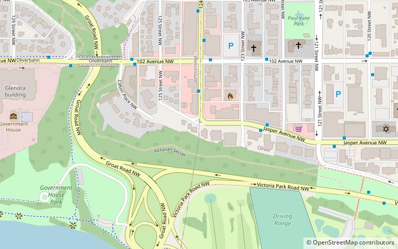
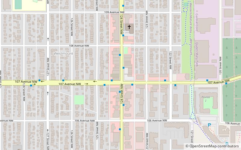
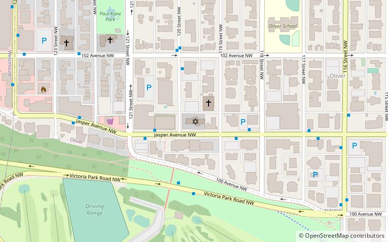
124 Street, Edmonton
Facts and practical information
124 Street in Edmonton, Canada, is an eclectic shopping district that has carved out a niche as one of the city's most vibrant and diverse retail zones. Stretching through the neighbourhoods of Westmount and Oliver, this thoroughfare is a bustling blend of boutique shops, art galleries, and eateries that cater to a variety of tastes and preferences.
The district is renowned for its unique blend of historic charm and contemporary flair. Visitors to 124 Street are greeted by a mix of beautifully-restored heritage buildings and modern storefronts, each housing an array of businesses that offer everything from high-end fashion to specialty foods, home decor, and more.
Art enthusiasts are drawn to 124 Street for its concentration of galleries, where local and international artists' work is on display. The area is also host to the 124 Street Grand Market, a seasonal outdoor market that showcases the best in local produce, artisanal crafts, and gourmet treats, fostering a strong sense of community and support for local businesses.
Dining on 124 Street is an adventure in itself, with a selection of cafes, restaurants, and bars offering a wide range of cuisines. From cozy coffee shops to fine dining experiences, foodies can indulge in culinary delights that reflect the multicultural fabric of Edmonton.
Throughout the year, 124 Street comes alive with events and festivals that celebrate art, culture, and the spirit of the neighbourhood. These events not only boost the local economy but also solidify the street's reputation as a dynamic and inclusive destination for both locals and tourists.
West Edmonton (Westmount)Edmonton
- Bus
- Light rail
 Bus
Bus
- Calculate route124 Street & 102 Ave 3 min walk
- Calculate route123 Street & Jasper Ave 3 min walk
- Calculate routeClifton Place & 102 Ave 5 min walk
- Calculate route121 Street & 102 Ave 5 min walk
- Calculate routeGovernment Centre Station 29 min walk
- Calculate routeUniversity 33 min walk


Frequently Asked Questions (FAQ)
Which popular attractions are close to 124 Street?
How to get to 124 Street by public transport?
Bus
- 124 Street & 102 Ave • Lines: 2, 5, 900X (3 min walk)
- 123 Street & Jasper Ave • Lines: 2, 2-Owl, 5 (3 min walk)
Light rail
- Government Centre Station • Lines: 501, 502 (29 min walk)
- University • Lines: 501, 502 (33 min walk)