Île d'Orléans Bridge, Quebec City
Map
Map

Facts and practical information
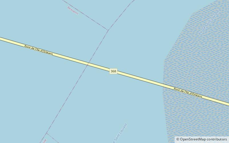
The Île d'Orléans Bridge, known locally as the Pont de l'Île, is a suspension bridge that spans the Saint Lawrence River between the Beauport borough of Quebec City and Île d'Orléans in the Canadian province of Quebec. It is part of Quebec Route 368 and connects to Autoroute 40 on the north side. ()
Alternative names: Opened: 1935 (91 years ago)Length: 8858 ftWidth: 31 ftHeight: 216 ftCoordinates: 46°52'45"N, 71°7'60"W
Address
Route 368Quebec City
ContactAdd
Social media
Add
Day trips
Île d'Orléans Bridge – popular in the area (distance from the attraction)
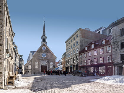
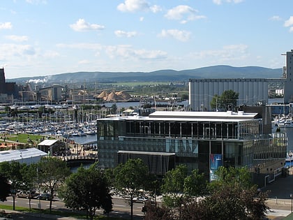
Nearby attractions include: Musée de la civilisation, Montmorency Falls, Musée de l'Amérique francophone, Notre-Dame-des-Victoires Church.
Frequently Asked Questions (FAQ)
How to get to Île d'Orléans Bridge by public transport?
The nearest stations to Île d'Orléans Bridge:
Train
Bus
Train
- Train de Charlevoix (18 min walk)
Bus
- Des Rapides • Lines: 800 (29 min walk)
- Terminus Chute-Montmorency • Lines: 800 (29 min walk)


