Tonquin Hill, Jasper National Park
#105 among attractions in Jasper National Park
Facts and practical information
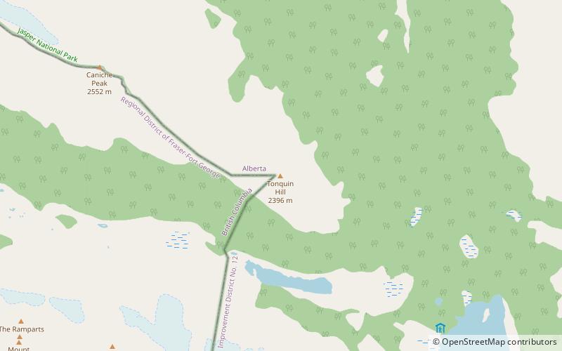
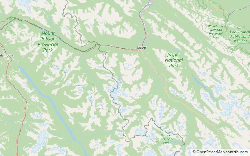
Tonquin Hill is located on the border of Alberta and British Columbia. It was named in 1916 by E. Deville. ()
Jasper National Park Canada
Tonquin Hill – popular in the area (distance from the attraction)
Nearby attractions include: Curia Mountain, Mount Clairvaux, Tonquin Valley, Caniche Peak.
 Mountain
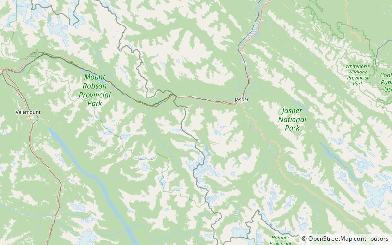
Curia Mountain, Jasper National Park
104 min walk • Curia Mountain is a summit situated between Clairvaux Creek and Meadow Creek in Banff National Park, Alberta, Canada. Curia Mountain was so named due to its curia-like outline.
 Nature, Natural attraction, Mountain
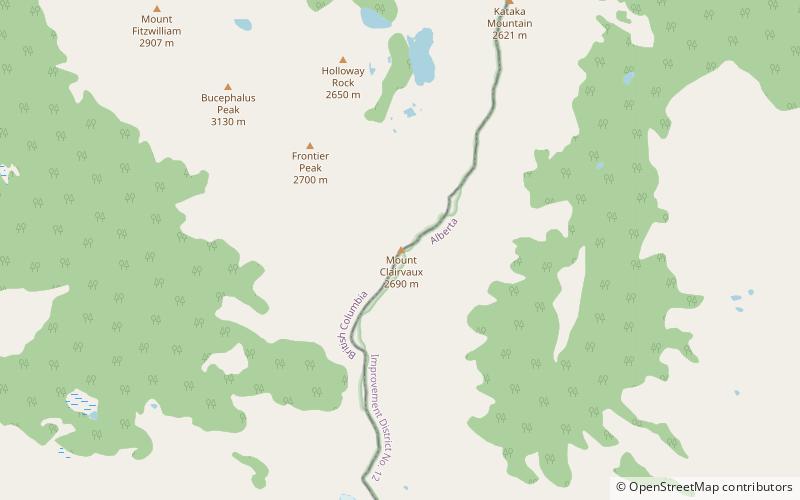
Mount Clairvaux, Mount Robson Provincial Park
152 min walk • Mount Clairvaux is located on the border of Alberta and British Columbia, SE of the Yellowhead Pass. Clairvaux is the French word for "clear valleys.".
 Nature, Natural attraction, Valley
Tonquin Valley, Jasper National Park
72 min walk • The Tonquin Valley is located in Jasper National Park, Alberta, Canada, next to the border of the provinces of Alberta and British Columbia, an area which is also the continental divide, running along the peaks of the South Jasper Range which rise above Amethyst Lake.
 Nature, Natural attraction, Mountain
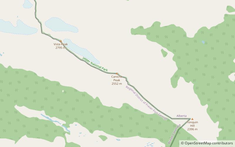
Caniche Peak, Mount Robson Provincial Park
55 min walk • Caniche Peak is located on the border of Alberta and British Columbia. It was named in 1922 by Arthur O. Wheeler. He suggested it be called Poodle Park as he thought it resembled the head of a poodle.
 Mountain
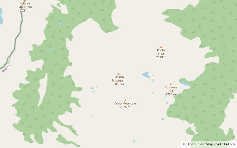
Basilica Mountain, Jasper National Park
120 min walk • Basilica Mountain is a summit in Alberta, Canada located between Clairvaux Creek and Meadow Creek. Basilica Mountain was so named on account of its basilica-shaped outline.
 Mountain
Mount Clitheroe, Jasper National Park
114 min walk • Mount Clitheroe is a summit in Alberta, Canada. It takes its name from Clitheroe, in England.
 Nature, Natural attraction, Mountain
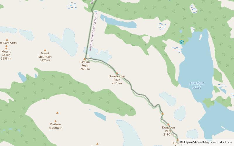
Drawbridge Peak, Jasper National Park
59 min walk • Drawbridge Peak is located on the Continental Divide along the provincial borders of Alberta and British Columbia. The Alberta side is in Jasper National Park while Mount Robson Provincial Park is on the B.C. side.
 Nature, Natural attraction, Mountain
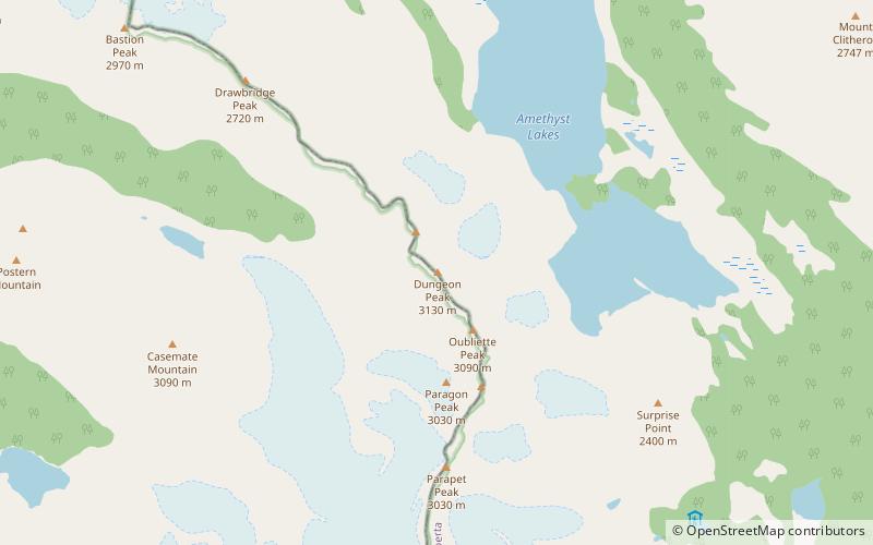
Dungeon Peak, Jasper National Park
97 min walk • Dungeon Peak is a 3,129-metre mountain summit located on the shared border of Jasper National Park in Alberta, and Mount Robson Provincial Park in British Columbia, Canada. Dungeon Peak is part of The Ramparts in the Tonquin Valley. The descriptive name was applied in 1916 by Morrison P.
 Nature, Natural attraction, Mountain
Redoubt Peak, Jasper National Park
90 min walk • Redoubt Peak is a 3,115-metre mountain summit located on the shared border of Jasper National Park in Alberta, and Mount Robson Provincial Park in British Columbia, Canada. Redoubt Peak is part of The Ramparts in the Canadian Rockies.
 Nature, Natural attraction, Mountain
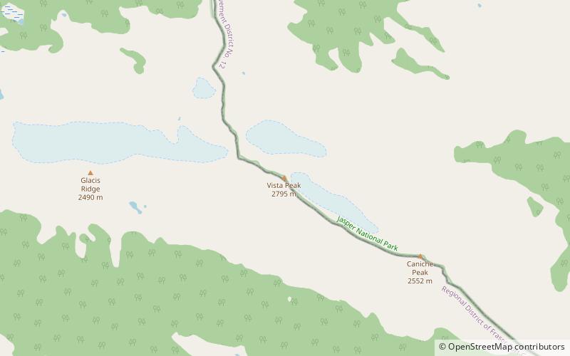
Vista Peak, Mount Robson Provincial Park
96 min walk • Vista Peak is located on the border of Alberta and British Columbia. It was named in 1917, the name refers to the view from the peak of the mountain.
 Nature, Natural attraction, Mountain
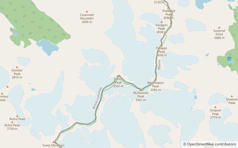
Simon Peak, Mount Robson Provincial Park
143 min walk • Simon Peak is located on the border of Alberta and British Columbia, at the Southern end of Mount Robson Provincial Park. It is the highest peak of Mount Fraser. It was named in 1920 by the Alberta-British Columbia Boundary Commission.