Dungeon Peak, Jasper National Park
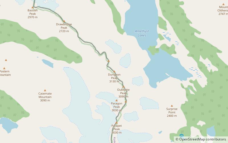
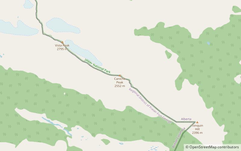
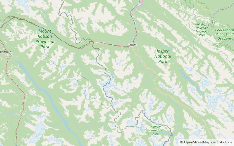
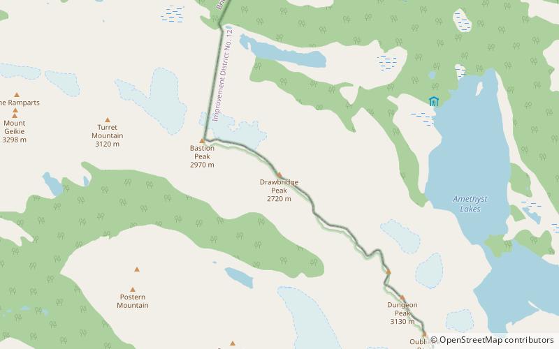
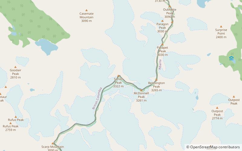
Map
Facts and practical information
Dungeon Peak is a 3,129-metre mountain summit located on the shared border of Jasper National Park in Alberta, and Mount Robson Provincial Park in British Columbia, Canada. Dungeon Peak is part of The Ramparts in the Tonquin Valley. The descriptive name was applied in 1916 by Morrison P. Bridgland, a Dominion Land Surveyor who named many peaks in Jasper Park and the Canadian Rockies. The mountain's name was made official in 1935 by the Geographical Names Board of Canada. ()
First ascent: 1933Elevation: 10266 ftProminence: 1604 ftCoordinates: 52°41'10"N, 118°17'46"W
Address
Jasper National Park
ContactAdd
Social media
Add
Day trips
Dungeon Peak – popular in the area (distance from the attraction)
Nearby attractions include: Mount Erebus, Outpost Peak, Tonquin Valley, Caniche Peak.
Frequently Asked Questions (FAQ)
Which popular attractions are close to Dungeon Peak?
Nearby attractions include Redoubt Peak, Jasper National Park (8 min walk), Paragon Peak, Mount Robson Provincial Park (21 min walk).


