Mount Columbia, Jasper National Park
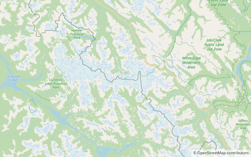
Map

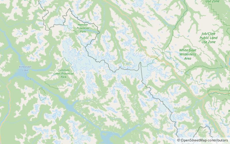
Map

Facts and practical information
Mount Columbia is a mountain located in the Winston Churchill Range of the Rocky Mountains. It is the highest point in Alberta, Canada, and is second only to Mount Robson for height and topographical prominence in the Canadian Rockies. It is located on the border between Alberta and British Columbia on the northern edge of the Columbia Icefield. Its highest point, however, lies within Jasper National Park in Alberta. ()
Alternative names: First ascent: 1902Elevation: 12293 ftProminence: 7818 ftCoordinates: 52°8'50"N, 117°26'28"W
Address
Jasper National Park
ContactAdd
Social media
Add
Day trips
Mount Columbia – popular in the area (distance from the attraction)
Nearby attractions include: Snow Dome, Mount Kitchener, North Twin Peak, South Twin Peak.


